File:Shiroishi, Higashichichibu, Chichibu District, Saitama Prefecture 355-0377, Japan - panoramio.jpg
Jump to navigation
Jump to search

Size of this preview: 448 × 599 pixels. Other resolutions: 179 × 240 pixels | 359 × 480 pixels | 575 × 768 pixels | 766 × 1,024 pixels | 1,712 × 2,288 pixels.
Original file (1,712 × 2,288 pixels, file size: 864 KB, MIME type: image/jpeg)
Captions
Captions
Add a one-line explanation of what this file represents
Summary
[edit]
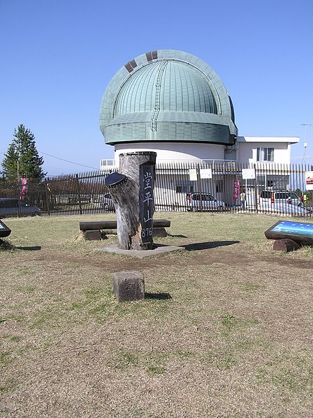
| Description | Shiroishi, Higashichichibu, Chichibu District, Saitama Prefecture 355-0377, Japan | ||
| Date | Taken on 28 April 2013 | ||
| Source | https://web.archive.org/web/20161101172322/http://www.panoramio.com/photo/102572596 | ||
| Author | 高橋文武 | ||
| Permission (Reusing this file) |
This file is licensed under the Creative Commons Attribution 3.0 Unported license. Attribution: 高橋文武
|
||
| Tags (from Panoramio photo page) | Higashichichibu |
| Camera location | | View this and other nearby images on: OpenStreetMap |
|---|
File history
Click on a date/time to view the file as it appeared at that time.
| Date/Time | Thumbnail | Dimensions | User | Comment | |
|---|---|---|---|---|---|
| current | 18:39, 15 March 2017 | | 1,712 × 2,288 (864 KB) | Panoramio upload bot (talk | contribs) | == {{int:filedesc}} == {{Information |description=Shiroishi, Higashichichibu, Chichibu District, Saitama Prefecture 355-0377, Japan |date={{Taken on|2013-04-28}} |source=http://www.panoramio.com/photo/102572596 |author=[http://www.panoramio.com/user/56... |
You cannot overwrite this file.
File usage on Commons
There are no pages that use this file.