File:Shipley derbyshire 017615 dbfa299a.jpg
Jump to navigation
Jump to search
No higher resolution available.
Shipley_derbyshire_017615_dbfa299a.jpg (640 × 480 pixels, file size: 61 KB, MIME type: image/jpeg)
Captions
Captions
Add a one-line explanation of what this file represents
| Camera location | | View this and other nearby images on: OpenStreetMap |
|---|
| Object location | | View this and other nearby images on: OpenStreetMap |
|---|
_region:GB-ENG_heading:112.00&language=en)
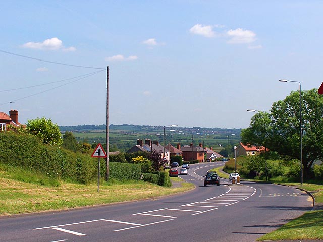
| Description | Shipley, Derbyshire. Hardy Barn is the name of the hill at Marlpool (on the outskirts of Heanor) seen here looking in the direction of Shipley on the road towards Ilkeston. OSGB36: geotagged! SK 446 453 [100m precision] WGS84: 53:0.2115N 1:20.1921W |
| Date | |
| Source | From geograph.org.uk |
| Author | Garth Newton |
| Permission (Reusing this file) |
Creative Commons Attribution Share-alike license 2.0 |

|
This image was taken from the Geograph project collection. See this photograph's page on the Geograph website for the photographer's contact details. The copyright on this image is owned by Garth Newton and is licensed for reuse under the Creative Commons Attribution-ShareAlike 2.0 license.
|
This file is licensed under the Creative Commons Attribution-Share Alike 2.0 Generic license.
Attribution: Garth Newton
- You are free:
- to share – to copy, distribute and transmit the work
- to remix – to adapt the work
- Under the following conditions:
- attribution – You must give appropriate credit, provide a link to the license, and indicate if changes were made. You may do so in any reasonable manner, but not in any way that suggests the licensor endorses you or your use.
- share alike – If you remix, transform, or build upon the material, you must distribute your contributions under the same or compatible license as the original.
File history
Click on a date/time to view the file as it appeared at that time.
| Date/Time | Thumbnail | Dimensions | User | Comment | |
|---|---|---|---|---|---|
| current | 10:46, 10 May 2008 | | 640 × 480 (61 KB) | Victuallers (talk | contribs) | {{Information |Description=Shipley, Derbyshire. Hardy Barn is the name of the hill at Marlpool (on the outskirts of Heanor) seen here looking in the direction of Shipley on the road towards Ilkeston. OSGB36: geotagged! SK 446 453 |
You cannot overwrite this file.
File usage on Commons
The following page uses this file:
File usage on other wikis
The following other wikis use this file:
- Usage on ceb.wikipedia.org
- Usage on cy.wikipedia.org
- Usage on en.wikipedia.org
- Usage on fa.wikipedia.org
- Usage on fr.wikipedia.org
- Usage on it.wikipedia.org
- Usage on lld.wikipedia.org
- Usage on nl.wikipedia.org
- Usage on pl.wikipedia.org
- Usage on sv.wikipedia.org
- Usage on www.wikidata.org