File:Shatt al-Arab map.png
Jump to navigation
Jump to search
No higher resolution available.
Shatt_al-Arab_map.png (409 × 332 pixels, file size: 339 KB, MIME type: image/png)
Captions
Captions
Add a one-line explanation of what this file represents
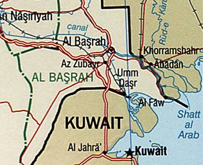
| Description | Shatt al-Arab map |
| Source | Image:Iraq 2004 CIA map.jpg |
| Author | US government |
| This image is a work of a Central Intelligence Agency employee, taken or made as part of that person's official duties. As a Work of the United States Government, this image or media is in the public domain in the United States.
|

|
| Annotations | This image is annotated: View the annotations at Commons |
File history
Click on a date/time to view the file as it appeared at that time.
| Date/Time | Thumbnail | Dimensions | User | Comment | |
|---|---|---|---|---|---|
| current | 22:58, 19 May 2007 | | 409 × 332 (339 KB) | Yonidebest (talk | contribs) | {{Information |Description=Shatt al-Arab map |Source=Iraq 2004 CIA map.jpg |Date= |Author=US government |Permission= |other_versions= }} {{PD-USGov-CIA}} Category:Maps of Iraq |
You cannot overwrite this file.
File usage on Commons
There are no pages that use this file.
File usage on other wikis
The following other wikis use this file:
- Usage on he.wikipedia.org