File:Shaoguan all map.jpg
Jump to navigation
Jump to search

Size of this preview: 750 × 600 pixels. Other resolutions: 300 × 240 pixels | 600 × 480 pixels | 1,000 × 800 pixels.
Original file (1,000 × 800 pixels, file size: 118 KB, MIME type: image/jpeg)
Captions
Captions
Add a one-line explanation of what this file represents
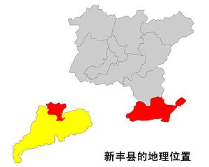
本人上载的韶关各市县位置图的原文件,制作过程:将广东地图扫描入电脑,再用画笔描出,生成矢量图,最后导出JPG格式的点阵图,所有图片都是在此基础上作了适当的修改。

|
Permission is granted to copy, distribute and/or modify this document under the terms of the GNU Free Documentation License, Version 1.2 or any later version published by the Free Software Foundation; with no Invariant Sections, no Front-Cover Texts, and no Back-Cover Texts. A copy of the license is included in the section entitled GNU Free Documentation License. |
| This file is licensed under the Creative Commons Attribution-Share Alike 3.0 Unported license. | ||
| ||
| This licensing tag was added to this file as part of the GFDL licensing update. |
from zh wp
* (删除该图像的所有修订版本) (当前) 12:41 2005年1月29日 . . Zhuwq . . 1000x800 (120477字节) (本人上载的韶关各市县位置图的原文件,制作过程:将广东地图扫描入电脑,再用画笔描出,生成矢量图,最后导出JPG格式的点阵图,所有图片都是在此基础上作了适当的修改。)
File history
Click on a date/time to view the file as it appeared at that time.
| Date/Time | Thumbnail | Dimensions | User | Comment | |
|---|---|---|---|---|---|
| current | 17:26, 17 December 2005 | | 1,000 × 800 (118 KB) | Shizhao (talk | contribs) | 本人上载的韶关各市县位置图的原文件,制作过程:将广东地图扫描入电脑,再用画笔描出,生成矢量图,最后导出JPG格式的点阵图,所有图片都是在此基础上作了适当的修改。 {{GFDL}} from zh wp |
You cannot overwrite this file.
File usage on Commons
The following page uses this file: