File:Shalun Smart Green Energy Science City.jpg
Jump to navigation
Jump to search

Size of this preview: 800 × 600 pixels. Other resolutions: 320 × 240 pixels | 640 × 480 pixels | 1,024 × 768 pixels | 1,280 × 960 pixels | 2,560 × 1,920 pixels | 4,000 × 3,000 pixels.
Original file (4,000 × 3,000 pixels, file size: 4.74 MB, MIME type: image/jpeg)
Captions
Captions
Add a one-line explanation of what this file represents
Summary
[edit]
| Description |
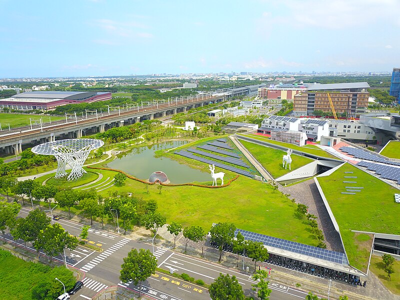
中文(臺灣):台南沙崙智慧綠能科學城 |
| Date | |
| Source | https://www.tainan.gov.tw/News_Content.aspx?n=13370&s=8578115# |
| Author | 臺南市政府 |
| Camera location | | View this and other nearby images on: OpenStreetMap |
|---|
Licensing
[edit]

|
The copyright holder of this file, 臺南市政府, allows anyone to use it for any purpose, provided that the copyright holder is properly attributed. Redistribution, derivative work, commercial use, and all other use is permitted. |
Attribution:
臺南市政府
|
|
|
This file is licensed under the Government Website Open Information Announcement.
Information on Related Items:
|
 |
|
|
File history
Click on a date/time to view the file as it appeared at that time.
| Date/Time | Thumbnail | Dimensions | User | Comment | |
|---|---|---|---|---|---|
| current | 02:42, 27 July 2024 | | 4,000 × 3,000 (4.74 MB) | Yu tptw (talk | contribs) | Uploaded a work by 臺南市政府 from https://www.tainan.gov.tw/News_Content.aspx?n=13370&s=8578115# with UploadWizard |
You cannot overwrite this file.
File usage on Commons
There are no pages that use this file.
File usage on other wikis
The following other wikis use this file:
- Usage on zh.wikipedia.org