File:Serock (gmina) location map.png
Jump to navigation
Jump to search
Size of this preview: 800 × 572 pixels. Other resolutions: 320 × 229 pixels | 640 × 457 pixels | 1,005 × 718 pixels.
Original file (1,005 × 718 pixels, file size: 222 KB, MIME type: image/png)
Captions
Captions
Add a one-line explanation of what this file represents
| Description |
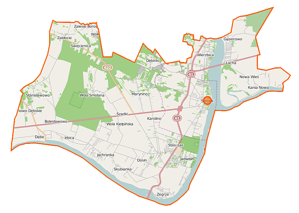
Polski: Mapa gminy Serock, Polska
English: Map of Gmina Serock, Poland |
|||||||||
| Date | ||||||||||
| Source | You may find a page on the OpenStreetMap wiki page for Serock (gmina) | |||||||||
| Creator |
OpenStreetMap contributors OpenStreetMap contributors |
|||||||||
| Permission (Reusing this file) |
OpenStreetMap data is available under the Open Database License (details). Map tiles are licensed under the Creative Commons Attribution-ShareAlike 2.0 license (CC-BY-SA 2.0).
This file is licensed under the Creative Commons Attribution-Share Alike 2.0 Generic license.
|
|||||||||
| Geotemporal data | ||||||||||
| Bounding box |
|
|||||||||
| Georeferencing | If inappropriate please set warp_status = skip to hide. | |||||||||
File history
Click on a date/time to view the file as it appeared at that time.
| Date/Time | Thumbnail | Dimensions | User | Comment | |
|---|---|---|---|---|---|
| current | 10:30, 12 September 2014 | | 1,005 × 718 (222 KB) | VanWiel (talk | contribs) | |
| 10:56, 29 July 2014 |  | 1,005 × 718 (235 KB) | VanWiel (talk | contribs) | {{OpenStreetMap | name = Serock (gmina) | location = Serock (gmina) | description = {{pl|Mapa gminy Serock, Polska}} {{en|Map of Gmina Serock, Poland}} | top = 52.5701 | left = 20.8816 | right... |
You cannot overwrite this file.
File usage on Commons
There are no pages that use this file.
File usage on other wikis
The following other wikis use this file:
- Usage on fr.wikipedia.org
- Usage on nl.wikipedia.org
- Usage on pl.wikipedia.org
- Serock
- Rezerwat przyrody Jadwisin
- Zegrze
- Serock (gmina)
- Dosin
- Jachranka
- Kania Polska
- Karolino
- Ludwinowo Dębskie
- Ludwinowo Zegrzyńskie
- Marynino
- Skubianka
- Stasi Las
- Święcienica
- Wola Kiełpińska (wieś)
- Wola Smolana
- Zalesie Borowe
- Bolesławowo (województwo mazowieckie)
- Borowa Góra (województwo mazowieckie)
- Izbica (województwo mazowieckie)
- Łacha (województwo mazowieckie)
- Cupel (powiat legionowski)
- Dębe (powiat legionowski)
- Dębinki (powiat legionowski)
- Gąsiorowo (powiat legionowski)
- Guty (powiat legionowski)
- Jadwisin (powiat legionowski)
- Nowa Wieś (powiat legionowski)
- Stanisławowo (powiat legionowski)
- Zabłocie (powiat legionowski)
- Elektrownia Wodna Dębe
- Wierzbica (powiat legionowski)
- Centrum Szkolenia Łączności i Informatyki
- Szadki
- Kania Nowa
- Zegrzynek
- Cmentarz żydowski w Serocku
- Parafia św. Anny w Serocku
- Parafia wojskowa św. Gabriela Archanioła w Zegrzu
- Rezerwat przyrody Zegrze
- Muzeum Palindromów
- Kościół Zwiastowania Najświętszej Maryi Panny w Serocku
- Rezerwat przyrody Wąwóz Szaniawskiego
- Skubianka-Kolonia
- Wola Kiełpińska (osada leśna)
- Moduł:Mapa/dane/Serock
- Moduł:Mapa/dane/Serock (gmina)
- Parafia św. Antoniego w Zegrzu
View more global usage of this file.
_location_map.png)
_location_map.png&oldid=483443479)