File:Serbien BV042784763.jpg
Jump to navigation
Jump to search

Size of this preview: 658 × 600 pixels. Other resolutions: 263 × 240 pixels | 527 × 480 pixels | 843 × 768 pixels | 1,124 × 1,024 pixels | 2,247 × 2,048 pixels | 5,354 × 4,879 pixels.
Original file (5,354 × 4,879 pixels, file size: 4.37 MB, MIME type: image/jpeg)
Captions
Captions
Add a one-line explanation of what this file represents
Summary
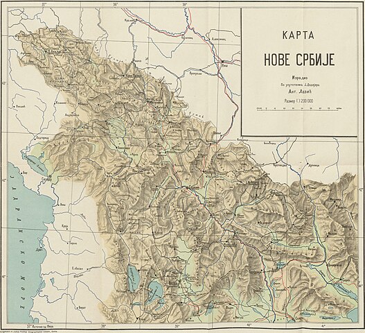
[edit]| Title |
Karta Nove Srbije |
|||||||||||||||||||||||
| Description |
Deutsch: Serbien, Makedonien, Bukarest/Friede<1913> |
|||||||||||||||||||||||
| Date | ||||||||||||||||||||||||
| Source | Leibniz-Institut für Ost- und Südosteuropaforschung (IOS) GeoPortOst | |||||||||||||||||||||||
| Creator |
Antonije Lazić |
|||||||||||||||||||||||
| Permission (Reusing this file) |
|
|||||||||||||||||||||||
| Geotemporal data | ||||||||||||||||||||||||
| Date depicted | ||||||||||||||||||||||||
| Map location | Serbien | |||||||||||||||||||||||
| Map type | Geschichtskarte | |||||||||||||||||||||||
| Scale | 1:1200000 | |||||||||||||||||||||||
| Bounding box |
|
|||||||||||||||||||||||
| Georeferencing | ||||||||||||||||||||||||
| Bibliographic data | ||||||||||||||||||||||||
| Map sheet | Beilage | |||||||||||||||||||||||
| Archival data | ||||||||||||||||||||||||
| Collection |
|
|||||||||||||||||||||||
| Accession number |
BV042784763 |
|||||||||||||||||||||||

Licensing
[edit]
|
This work is in the public domain in its country of origin and other countries and areas where the copyright term is the author's life plus 70 years or fewer. | |
| This file has been identified as being free of known restrictions under copyright law, including all related and neighboring rights. | |
File history
Click on a date/time to view the file as it appeared at that time.
| Date/Time | Thumbnail | Dimensions | User | Comment | |
|---|---|---|---|---|---|
| current | 19:37, 18 November 2023 | | 5,354 × 4,879 (4.37 MB) | Enyavar (talk | contribs) | Cropped 9 % horizontally, 14 % vertically, rotated -0.1° using CropTool with precise mode. |
| 20:13, 19 February 2019 |  | 5,894 × 5,653 (5.04 MB) | H.bauer26 (talk | contribs) | pattypan 18.02 |
You cannot overwrite this file.
File usage on Commons
The following page uses this file: