File:Segnavia a Montuglio.jpg
![File:Segnavia a Montuglio.jpg](https://upload.wikimedia.org/wikipedia/commons/thumb/f/f6/Segnavia_a_Montuglio.jpg/604px-Segnavia_a_Montuglio.jpg?20220828130145)
Original file (5,288 × 5,252 pixels, file size: 8.54 MB, MIME type: image/jpeg)
Captions
Captions
Summary
[edit]DescriptionSegnavia a Montuglio.jpg |
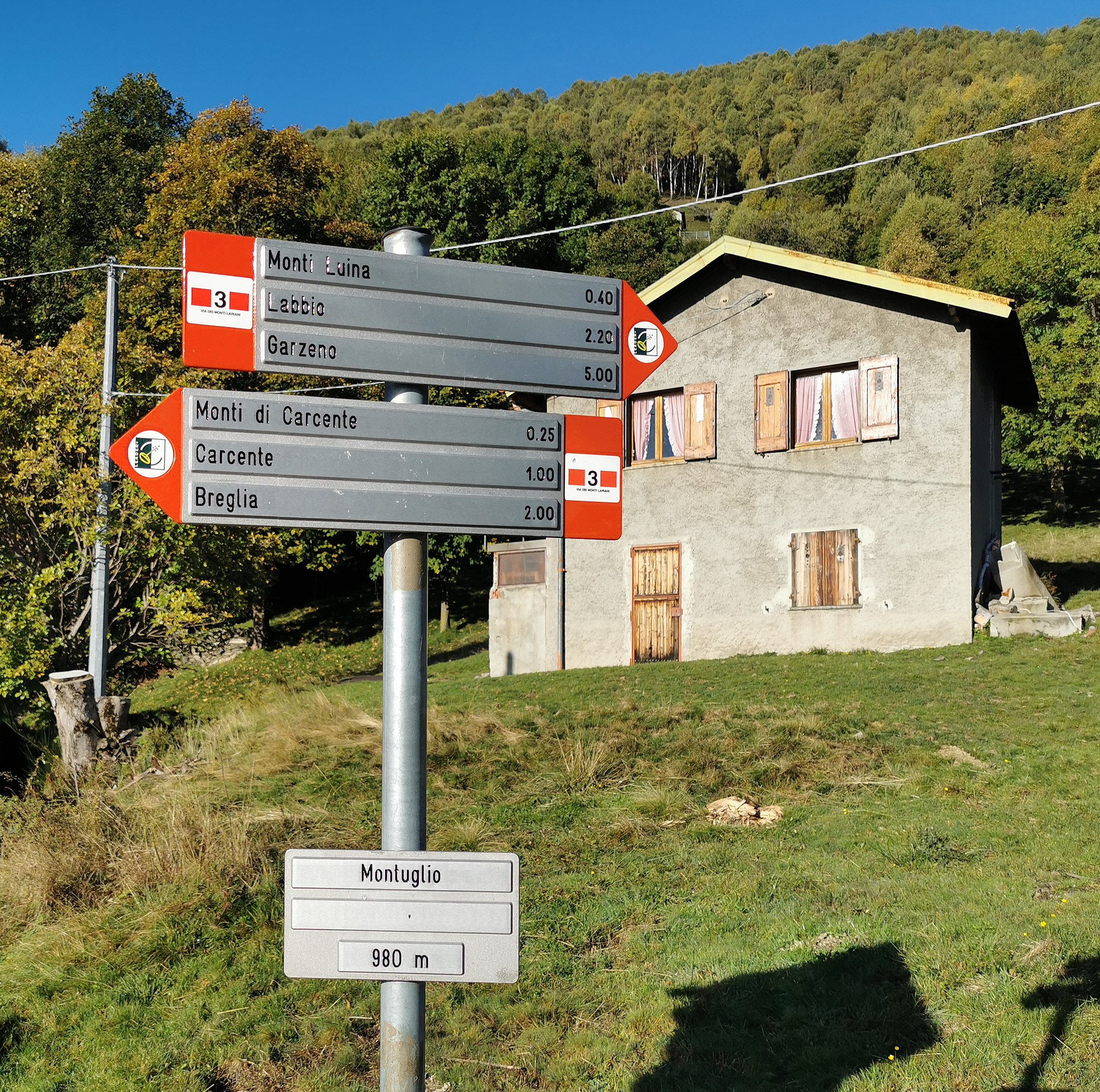
Italiano: Segnavia a Montuglio (San Siro), lungo la Via dei Monti Lariani sezione 3.
Direzioni lungo la VML3 perː - Monti Luina, Labbio, Garzeno - Monti di Carcente, Carcente, Breglia |
Date | |
Source | Own work |
Author | Kaitu |
Object location | 46° 04′ 19.89″ N, 9° 14′ 51.55″ E ![]() | View this and other nearby images on: OpenStreetMap | ![]() |
---|
Camera location | 46° 04′ 19.92″ N, 9° 14′ 51.68″ E ![]() ![]() | View this and other nearby images on: OpenStreetMap | ![]() |
---|
Segnavia a Montuglio.jpg has an entry on OpenStreetMap (show). |
Deutsch ∙ English ∙ français ∙ Ido ∙ italiano ∙ Nederlands ∙ português ∙ sicilianu ∙ slovenščina ∙ Ελληνικά ∙ македонски ∙ বাংলা ∙ +/− |
Licensing
[edit]![w:en:Creative Commons](https://upload.wikimedia.org/wikipedia/commons/thumb/7/79/CC_some_rights_reserved.svg/90px-CC_some_rights_reserved.svg.png)
![attribution](https://upload.wikimedia.org/wikipedia/commons/thumb/1/11/Cc-by_new_white.svg/24px-Cc-by_new_white.svg.png)
![share alike](https://upload.wikimedia.org/wikipedia/commons/thumb/d/df/Cc-sa_white.svg/24px-Cc-sa_white.svg.png)
- You are free:
- to share – to copy, distribute and transmit the work
- to remix – to adapt the work
- Under the following conditions:
- attribution – You must give appropriate credit, provide a link to the license, and indicate if changes were made. You may do so in any reasonable manner, but not in any way that suggests the licensor endorses you or your use.
- share alike – If you remix, transform, or build upon the material, you must distribute your contributions under the same or compatible license as the original.
File history
Click on a date/time to view the file as it appeared at that time.
Date/Time | Thumbnail | Dimensions | User | Comment | |
---|---|---|---|---|---|
current | 13:01, 28 August 2022 | ![]() | 5,288 × 5,252 (8.54 MB) | Kaitu (talk | contribs) | Uploaded own work with UploadWizard |
You cannot overwrite this file.
File usage on Commons
The following 5 pages use this file:
File usage on other wikis
The following other wikis use this file:
- Usage on www.wikidata.org
Metadata
This file contains additional information such as Exif metadata which may have been added by the digital camera, scanner, or software program used to create or digitize it. If the file has been modified from its original state, some details such as the timestamp may not fully reflect those of the original file. The timestamp is only as accurate as the clock in the camera, and it may be completely wrong.
Camera manufacturer | HUAWEI |
---|---|
Camera model | VOG-L29 |
Exposure time | 139/500,000 sec (0.000278) |
F-number | f/1.6 |
ISO speed rating | 50 |
Date and time of data generation | 09:34, 12 October 2019 |
Lens focal length | 5.56 mm |
Latitude | 46° 4′ 19.92″ N |
Longitude | 9° 14′ 51.68″ E |
Altitude | 1,041.848 meters above sea level |
Orientation | Normal |
Horizontal resolution | 96 dpi |
Vertical resolution | 96 dpi |
Software used | GIMP 2.10.30 |
File change date and time | 14:47, 28 August 2022 |
Y and C positioning | Centered |
Exposure Program | Normal program |
Exif version | 2.1 |
Date and time of digitizing | 09:34, 12 October 2019 |
Meaning of each component |
|
Image compression mode | 0.9 |
APEX shutter speed | 29.8973 |
APEX aperture | 1.35 |
APEX exposure bias | 0 |
Maximum land aperture | 1.35 APEX (f/1.6) |
Metering mode | Pattern |
Light source | Daylight |
Flash | Flash did not fire, auto mode |
DateTime subseconds | 758737 |
DateTimeOriginal subseconds | 758737 |
DateTimeDigitized subseconds | 758737 |
Supported Flashpix version | 1 |
Color space | sRGB |
Sensing method | One-chip color area sensor |
File source | Digital still camera |
Scene type | A directly photographed image |
Custom image processing | Custom process |
Exposure mode | Auto exposure |
White balance | Auto white balance |
Digital zoom ratio | 1 |
Focal length in 35 mm film | 27 mm |
Scene capture type | Standard |
Scene control | None |
Contrast | Normal |
Saturation | Normal |
Sharpness | Normal |
Subject distance range | Unknown |
GPS time (atomic clock) | 07:34 |
Speed unit | Kilometers per hour |
Speed of GPS receiver | 0.92840991509877 |
Reference for direction of image | True direction |
Direction of image | 262.7 |
GPS date | 12 October 2019 |
GPS tag version | 0.0.3.2 |
Unique ID of original document | xmp.did:4d12dec9-4e9b-4328-a6cc-e032a1f6cbbf |
Structured data
In dieser Datei abgebildete Objekte
depicts
Einige Werte ohne einen Wikidata-Eintrag
46°4'19.924"N, 9°14'51.680"E
0.000278 second
1.6
5.56 millimetre
image/jpeg
8,951,205 byte
5,252 pixel
5,288 pixel
6fc294d094090e0c27c6fea7b00ad223920667a1
46°4'19.895"N, 9°14'51.547"E
12 October 2019
- Montuglio
- Guideposts of Via dei Monti Lariani - sezione 3
- Place name signs in San Siro
- Hiking and footpath fingerposts in San Siro
- Hiking and footpath fingerposts pointing to Monti Luina
- Hiking and footpath fingerposts pointing to Labbio
- Hiking and footpath fingerposts pointing to Garzeno
- Hiking and footpath fingerposts pointing to Monti di Carcente
- Hiking and footpath fingerposts pointing to Carcente
- Hiking and footpath fingerposts pointing to Breglia