File:Segnavia a Meriggio.jpg
Jump to navigation
Jump to search
Size of this preview: 800 × 600 pixels. Other resolutions: 320 × 240 pixels | 640 × 480 pixels | 1,024 × 768 pixels | 1,280 × 960 pixels | 2,560 × 1,920 pixels | 3,648 × 2,736 pixels.
Original file (3,648 × 2,736 pixels, file size: 1.56 MB, MIME type: image/jpeg)
Captions
Captions
Add a one-line explanation of what this file represents
Summary
[edit]
| Description |
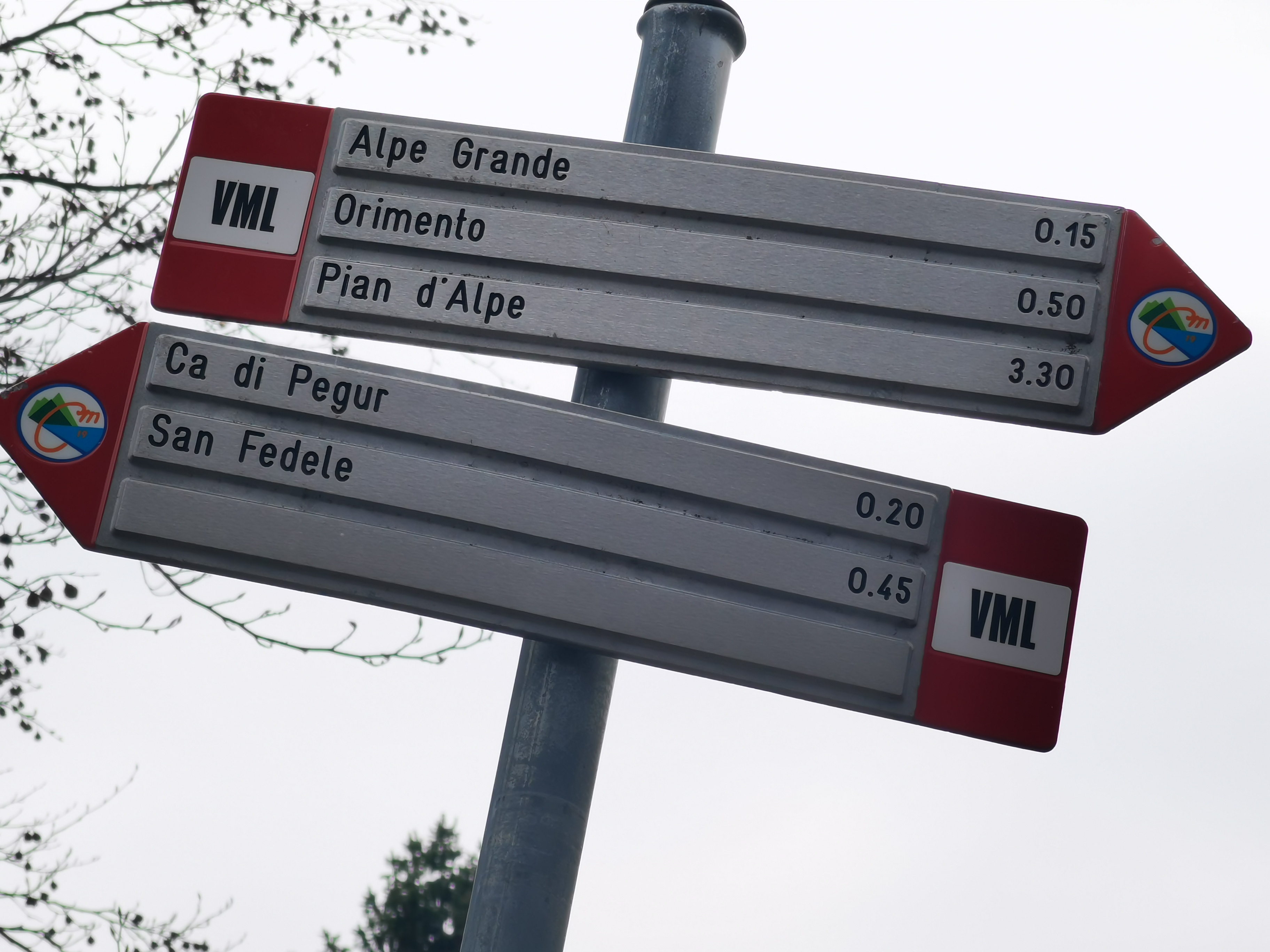
Italiano: Segnavia in località Meriggio, sulla via dei Monti Lariani - sezione 1, sotto Alpe Grande, dove il tracciato abbandona la strada asfaltata.
Direzioni per: - Alpe Grande, Orimento, Pian d'Alpe (Via dei Monti Lariani sezione 1); - Ca di Pegur, San Fedele (Via dei Monti Lariani sezione 1).
|
||
| Date | |||
| Source | Own work | ||
| Author | Kaitu |
| Object location | | View this and other nearby images on: OpenStreetMap |
|---|
| Camera location | | View this and other nearby images on: OpenStreetMap |
|---|
Licensing
[edit]
I, the copyright holder of this work, hereby publish it under the following license:
This file is licensed under the Creative Commons Attribution-Share Alike 4.0 International license.
- You are free:
- to share – to copy, distribute and transmit the work
- to remix – to adapt the work
- Under the following conditions:
- attribution – You must give appropriate credit, provide a link to the license, and indicate if changes were made. You may do so in any reasonable manner, but not in any way that suggests the licensor endorses you or your use.
- share alike – If you remix, transform, or build upon the material, you must distribute your contributions under the same or compatible license as the original.
File history
Click on a date/time to view the file as it appeared at that time.
| Date/Time | Thumbnail | Dimensions | User | Comment | |
|---|---|---|---|---|---|
| current | 18:40, 8 February 2022 | | 3,648 × 2,736 (1.56 MB) | Kaitu (talk | contribs) | Uploaded own work with UploadWizard |
You cannot overwrite this file.
File usage on Commons
The following 2 pages use this file:
Metadata
Categories:
- Meriggio
- Hiking and footpath fingerposts in Centro Valle Intelvi
- Guideposts of Comunità Montana Lario Intelvese
- Guideposts of Via dei Monti Lariani - sezione 1
- Hiking and footpath fingerposts pointing to Alpe Grande
- Hiking and footpath fingerposts pointing to Orimento
- Hiking and footpath fingerposts pointing to Piano delle Alpi
- Hiking and footpath fingerposts pointing to Ca di Pegur
- Hiking and footpath fingerposts pointing to San Fedele Intelvi