File:Seasalter beach - geograph.org.uk - 145388.jpg
Jump to navigation
Jump to search
No higher resolution available.
Seasalter_beach_-_geograph.org.uk_-_145388.jpg (640 × 480 pixels, file size: 125 KB, MIME type: image/jpeg)
Captions
Captions
Add a one-line explanation of what this file represents
Summary
[edit]
| Description |
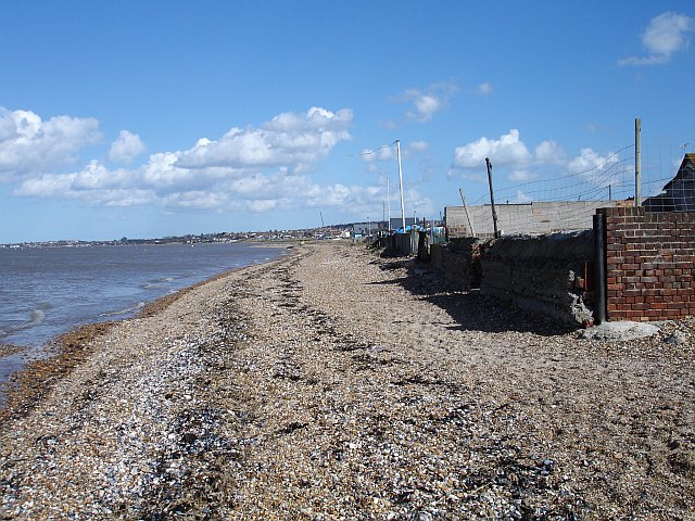
English: Seasalter beach. Looking east towards Seasalter and Whitstable. There is no sea wall between the water and houses at this point so it must be a little higher above sea level than elsewhere. At low tide there is over 1km of exposed mud known as The Oaze to the north but as usual I got the tides wrong. Above the mud the beach is fairly small shingle, mussel and oyster shells. |
| Date | |
| Source | From geograph.org.uk |
| Author | Penny Mayes |
| Attribution (required by the license) | Penny Mayes / Seasalter beach / |
| Camera location | | View this and other nearby images on: OpenStreetMap |
|---|
_heading:90.00&language=en)
| Object location | | View this and other nearby images on: OpenStreetMap |
|---|
_heading:90.00&language=en)
Licensing
[edit]

|
This image was taken from the Geograph project collection. See this photograph's page on the Geograph website for the photographer's contact details. The copyright on this image is owned by Penny Mayes and is licensed for reuse under the Creative Commons Attribution-ShareAlike 2.0 license.
|
This file is licensed under the Creative Commons Attribution-Share Alike 2.0 Generic license.
Attribution: Penny Mayes
- You are free:
- to share – to copy, distribute and transmit the work
- to remix – to adapt the work
- Under the following conditions:
- attribution – You must give appropriate credit, provide a link to the license, and indicate if changes were made. You may do so in any reasonable manner, but not in any way that suggests the licensor endorses you or your use.
- share alike – If you remix, transform, or build upon the material, you must distribute your contributions under the same or compatible license as the original.
File history
Click on a date/time to view the file as it appeared at that time.
| Date/Time | Thumbnail | Dimensions | User | Comment | |
|---|---|---|---|---|---|
| current | 09:28, 31 January 2010 | | 640 × 480 (125 KB) | GeographBot (talk | contribs) | == {{int:filedesc}} == {{Information |description={{en|1=Seasalter beach. Looking east towards Seasalter and Whitstable. There is no sea wall between the water and houses at this point so it must be a little higher above sea level than elsewhere. At low t |
You cannot overwrite this file.
File usage on Commons
There are no pages that use this file.