File:Sea level road sign - geograph.org.uk - 758978.jpg
Jump to navigation
Jump to search
No higher resolution available.
Sea_level_road_sign_-_geograph.org.uk_-_758978.jpg (640 × 480 pixels, file size: 57 KB, MIME type: image/jpeg)
Captions
Captions
Add a one-line explanation of what this file represents
Summary
[edit]
| Description |
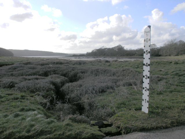
English: Sea level road sign This I'm convinced is actually a road sign as there was another identical one on the other side pointing in the opposite direction. Perhaps it's designed to let road users know that the road is flooded. Apparently the road floods on a regular basis and I suppose it's designed to let 4x4 users know if it's worth a go when the water is deeper than normal... |
| Date | |
| Source | From geograph.org.uk |
| Author | Hywel Williams |
| Attribution (required by the license) | Hywel Williams / Sea level road sign / |
| Camera location | | View this and other nearby images on: OpenStreetMap |
|---|
_heading:270.00&language=en)
| Object location | | View this and other nearby images on: OpenStreetMap |
|---|
_heading:270.00&language=en)
Licensing
[edit]

|
This image was taken from the Geograph project collection. See this photograph's page on the Geograph website for the photographer's contact details. The copyright on this image is owned by Hywel Williams and is licensed for reuse under the Creative Commons Attribution-ShareAlike 2.0 license.
|
This file is licensed under the Creative Commons Attribution-Share Alike 2.0 Generic license.
Attribution: Hywel Williams
- You are free:
- to share – to copy, distribute and transmit the work
- to remix – to adapt the work
- Under the following conditions:
- attribution – You must give appropriate credit, provide a link to the license, and indicate if changes were made. You may do so in any reasonable manner, but not in any way that suggests the licensor endorses you or your use.
- share alike – If you remix, transform, or build upon the material, you must distribute your contributions under the same or compatible license as the original.
File history
Click on a date/time to view the file as it appeared at that time.
| Date/Time | Thumbnail | Dimensions | User | Comment | |
|---|---|---|---|---|---|
| current | 16:03, 19 February 2011 | | 640 × 480 (57 KB) | GeographBot (talk | contribs) | == {{int:filedesc}} == {{Information |description={{en|1=Sea level road sign This I'm convinced is actually a road sign as there was another identical one on the other side pointing in the opposite direction. Perhaps it's designed to let road users know t |
You cannot overwrite this file.
File usage on Commons
There are no pages that use this file.