File:Sdot Micha IAF Base.II.svg
Jump to navigation
Jump to search

Size of this PNG preview of this SVG file: 571 × 600 pixels. Other resolutions: 228 × 240 pixels | 457 × 480 pixels | 731 × 768 pixels | 975 × 1,024 pixels | 1,949 × 2,048 pixels | 2,431 × 2,554 pixels.
Original file (SVG file, nominally 2,431 × 2,554 pixels, file size: 2.57 MB)
Captions
Captions
Add a one-line explanation of what this file represents
Summary
[edit]
| Description |
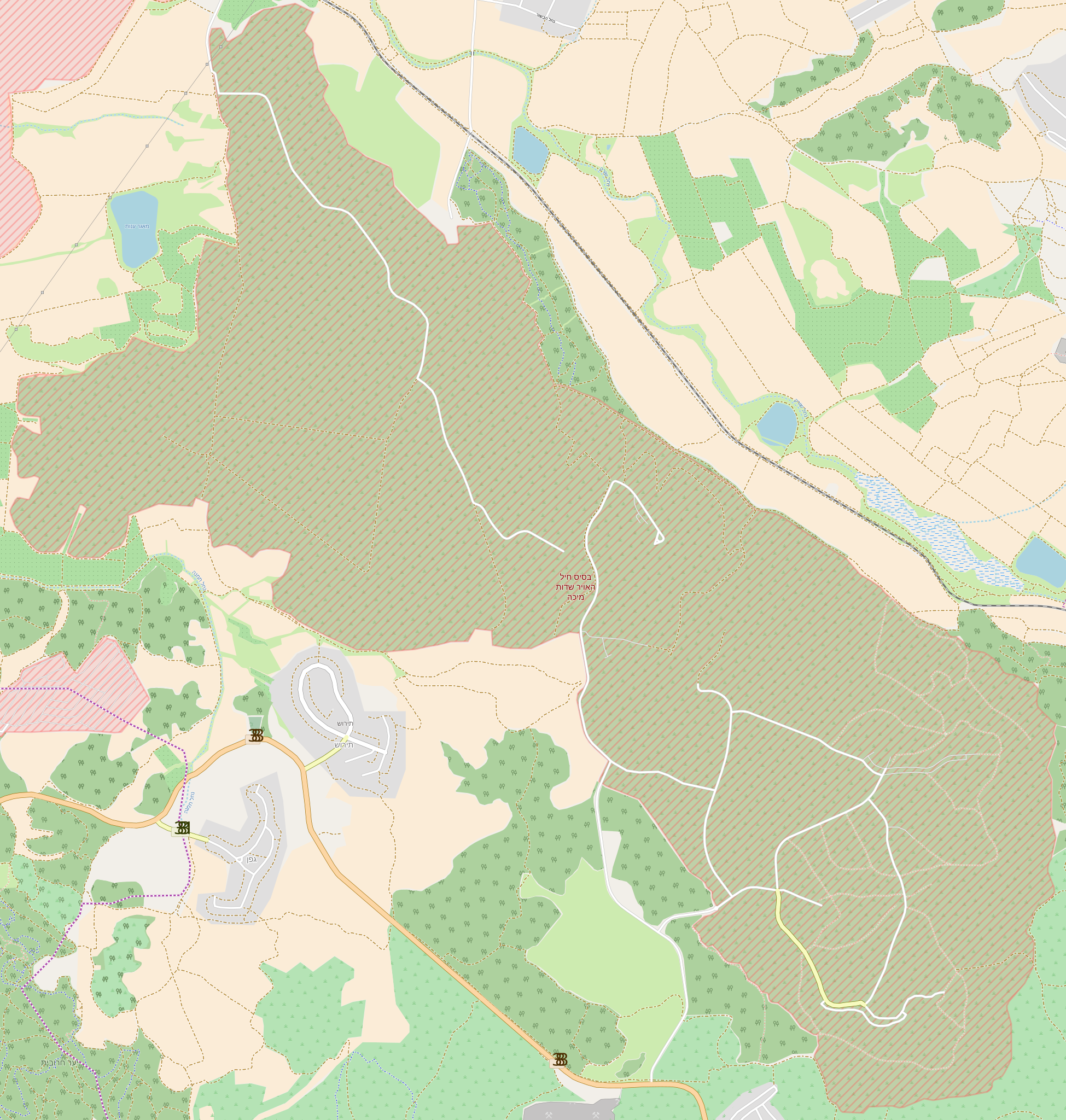
עברית: בסיס חיל האוויר שדות מיכה |
|||||||||
| Date | (see file history) | |||||||||
| Source | You may find a page on the OpenStreetMap wiki page for Sdot Micha IAF Base | |||||||||
| Creator |
OpenStreetMap contributors |
|||||||||
| Permission (Reusing this file) |
OpenStreetMap data is available under the Open Database License (details). Standard style map tiles are licensed as ODbL Produced Works.
|
|||||||||
| Geotemporal data | ||||||||||
| Bounding box |
|
|||||||||
| Georeferencing | If inappropriate please set warp_status = skip to hide. | |||||||||
File history
Click on a date/time to view the file as it appeared at that time.
| Date/Time | Thumbnail | Dimensions | User | Comment | |
|---|---|---|---|---|---|
| current | 00:53, 2 January 2018 | | 2,431 × 2,554 (2.57 MB) | Geagea (talk | contribs) | =={{int:filedesc}}== {{OpenStreetMap |name = Sdot Micha IAF Base |location = Israel |description = {{he|1=בסיס חיל האוויר שדות מיכה}} |top = 31.8010 |bottom = 31.7223 |left = 34.9460 |right = 34.8588 |date = |authors =... |
You cannot overwrite this file.
File usage on Commons
The following 2 pages use this file: