File:Scout troupe and leader, lined up in the park in the centre of Deseronto, Ontario. Behind them is the Town Hall (at the time, the Bank of Montreal) and the Post Office. Probably taken on the day of (3777446781).jpg
Jump to navigation
Jump to search

Size of this preview: 800 × 478 pixels. Other resolutions: 320 × 191 pixels | 640 × 382 pixels | 1,024 × 612 pixels | 1,280 × 764 pixels | 2,048 × 1,223 pixels.
Original file (2,048 × 1,223 pixels, file size: 247 KB, MIME type: image/jpeg)
Captions
Captions
Add a one-line explanation of what this file represents
Summary
[edit]_and_the_Post_Office._Probably_taken_on_the_day_of_(3777446781).jpg&action=edit§ion=1)
| Description |
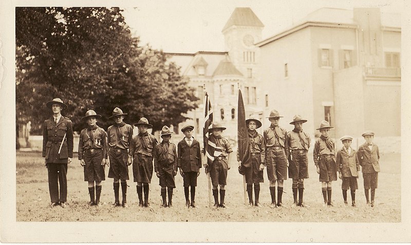
English: Scout troupe and leader, lined up in the park in the centre of Deseronto, Ontario. Behind them is the Town Hall (at the time, the Bank of Montreal) and the Post Office. Probably taken on the day of the unveiling of the Deseronto war memorial: September 3, 1923. |
| Date | |
| Source | https://www.flickr.com/photos/deserontoarchives/3777446781/ |
| Author | Deseronto Archives |
| Permission (Reusing this file) |
At the time of upload, the image license was automatically confirmed using the Flickr API. For more information see Flickr API detail. |
| Flickr sets |
|
| Flickr tags |
|
| Camera location | | View this and other nearby images on: OpenStreetMap |
|---|
_and_the_Post_Office._Probably_taken_on_the_day_of_(3777446781).jpg¶ms=044.195128_N_-077.048835_E_globe:Earth_type:camera__&language=en)
Licensing
[edit]_and_the_Post_Office._Probably_taken_on_the_day_of_(3777446781).jpg&action=edit§ion=2)
This image was taken from Flickr's The Commons. The uploading organization may have various reasons for determining that no known copyright restrictions exist, such as:
More information can be found at https://flickr.com/commons/usage/. Please add additional copyright tags to this image if more specific information about copyright status can be determined. See Commons:Licensing for more information. |
| This image was originally posted to Flickr by Deseronto Archives at https://flickr.com/photos/23121382@N07/3777446781. It was reviewed on 13 November 2016 by FlickreviewR and was confirmed to be licensed under the terms of the No known copyright restrictions. |
File history
Click on a date/time to view the file as it appeared at that time.
| Date/Time | Thumbnail | Dimensions | User | Comment | |
|---|---|---|---|---|---|
| current | 17:34, 12 November 2016 | | 2,048 × 1,223 (247 KB) | Fæ (talk | contribs) | Deseronto Archives, Set 72157622110182452, ID 3777446781, Original title YCLB-06-02 |
You cannot overwrite this file.
File usage on Commons
There are no pages that use this file.
_and_the_Post_Office._Probably_taken_on_the_day_of_(3777446781).jpg&oldid=876716992)