File:Schmettauisches Kartenwerk Ansicht von Pritzwalk Hainholz.jpg
Jump to navigation
Jump to search

Size of this preview: 800 × 582 pixels. Other resolutions: 320 × 233 pixels | 640 × 465 pixels | 1,024 × 745 pixels | 1,280 × 931 pixels | 1,496 × 1,088 pixels.
Original file (1,496 × 1,088 pixels, file size: 491 KB, MIME type: image/jpeg)
Captions
Captions
Add a one-line explanation of what this file represents
Summary
[edit]
| Description |
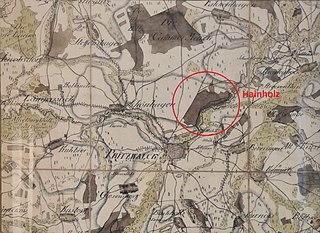
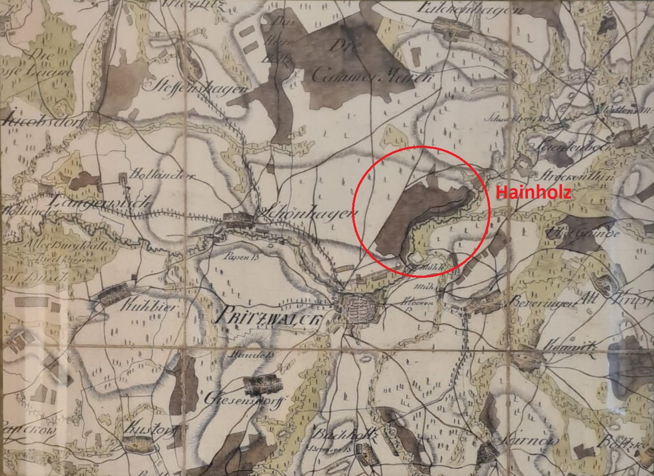
Deutsch: Schmettausches Kartenwerk Ansicht von Pritzwalk und dem Hainholz, von Friedrich Wilhelm Carl Graf von Schmettau |
| Date | |
| Source | https://geobasis-bb.de/lgb/de/geodaten/historische-karten/schmettausches-kartenwerk-%281767-1787%29/ |
| Author | Als Schmettausches Kartenwerk wird das insgesamt 270 Blätter (Sektionen) umfassende Werk im Maßstab 1 : 50.000 bezeichnet, das zwischen 1767 und 1787 erstellt wurde und das gesamte preußische Staatsgebiet östlich der Weser umfasst. Das Werk wurde unter maßgeblicher Mitwirkung von Friedrich Wilhelm Carl Graf von Schmettau zusammengetragen und aufgenommen. |
Licensing
[edit]
|
This work is in the public domain in its country of origin and other countries and areas where the copyright term is the author's life plus 70 years or fewer. This work is in the public domain in the United States because it was published (or registered with the U.S. Copyright Office) before January 1, 1929. | |
| This file has been identified as being free of known restrictions under copyright law, including all related and neighboring rights. | |
File history
Click on a date/time to view the file as it appeared at that time.
| Date/Time | Thumbnail | Dimensions | User | Comment | |
|---|---|---|---|---|---|
| current | 09:13, 18 February 2021 | | 1,496 × 1,088 (491 KB) | Pritz Walk (talk | contribs) | Uploaded a work by Als Schmettausches Kartenwerk wird das insgesamt 270 Blätter (Sektionen) umfassende Werk im Maßstab 1 : 50.000 bezeichnet, das zwischen 1767 und 1787 erstellt wurde und das gesamte preußische Staatsgebiet östlich der Weser umfasst. Das Werk wurde unter maßgeblicher Mitwirkung von Friedrich Wilhelm Carl Graf von Schmettau zusammengetragen und aufgenommen. from https://geobasis-bb.de/lgb/de/geodaten/historische-karten/schmettausches-kartenwerk-%281767-1787%29/ with UploadWi... |
You cannot overwrite this file.
File usage on Commons
There are no pages that use this file.
File usage on other wikis
The following other wikis use this file:
- Usage on de.wikipedia.org