File:Schloss Montfort am Bodensee.jpg
Jump to navigation
Jump to search
Size of this preview: 800 × 533 pixels. Other resolutions: 320 × 213 pixels | 640 × 427 pixels | 1,024 × 683 pixels | 1,280 × 853 pixels | 2,560 × 1,707 pixels | 4,200 × 2,800 pixels.
Original file (4,200 × 2,800 pixels, file size: 10.11 MB, MIME type: image/jpeg)
Captions
Captions
Add a one-line explanation of what this file represents
Summary
[edit]
| Description |
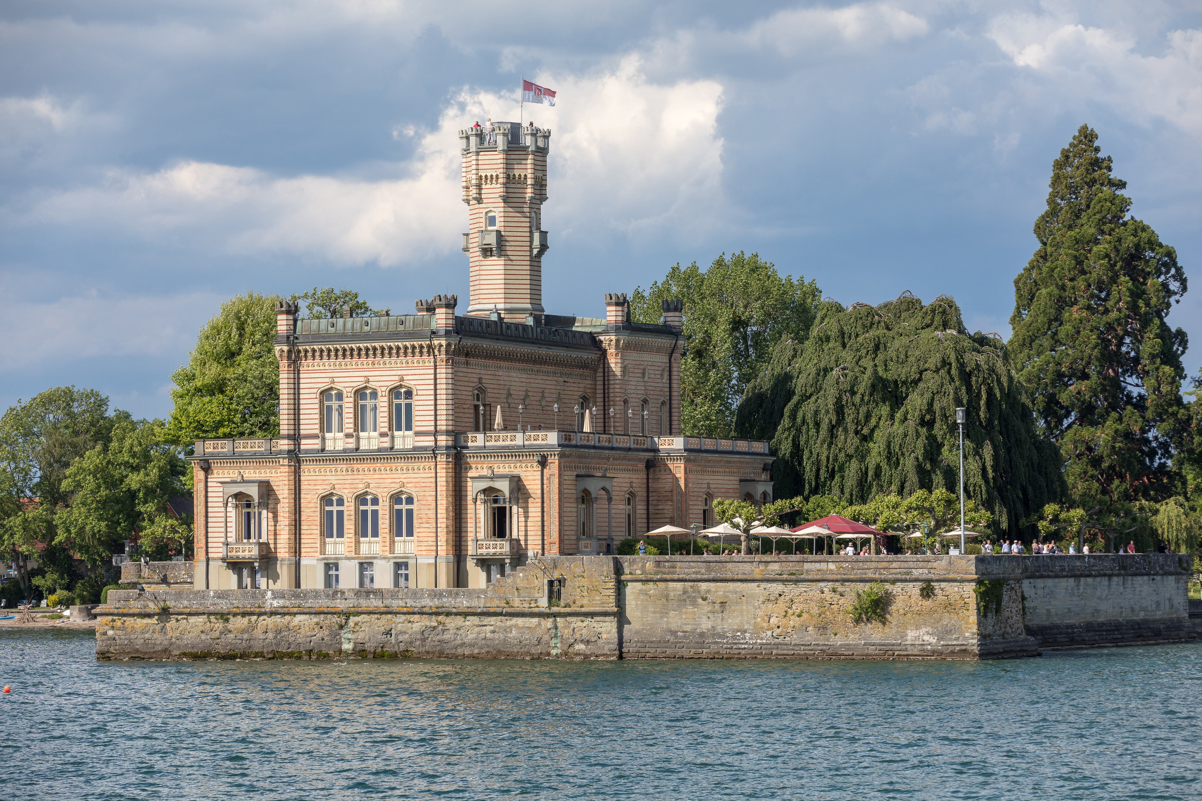
Deutsch: Schloss Montfort in der Gemeinde Langenargen am Bodensee English: Montfort Castle at Lake Constance, Germany |
| Date | |
| Source | Own work |
| Author | JoachimKohlerBremen |
| Camera location | | View this and other nearby images on: OpenStreetMap |
|---|
Licensing
[edit]
I, the copyright holder of this work, hereby publish it under the following license:
This file is licensed under the Creative Commons Attribution-Share Alike 4.0 International license.
- You are free:
- to share – to copy, distribute and transmit the work
- to remix – to adapt the work
- Under the following conditions:
- attribution – You must give appropriate credit, provide a link to the license, and indicate if changes were made. You may do so in any reasonable manner, but not in any way that suggests the licensor endorses you or your use.
- share alike – If you remix, transform, or build upon the material, you must distribute your contributions under the same or compatible license as the original.
This image has been assessed using the Quality image guidelines and is considered a Quality image.
|
File history
Click on a date/time to view the file as it appeared at that time.
| Date/Time | Thumbnail | Dimensions | User | Comment | |
|---|---|---|---|---|---|
| current | 20:18, 24 May 2018 | | 4,200 × 2,800 (10.11 MB) | JoachimKohler-HB (talk | contribs) | User created page with UploadWizard |
You cannot overwrite this file.
File usage on Commons
The following 9 pages use this file:
- User:Althair
- User:AndreasPraefcke/Bodenseekreis new files/2018 May 21-31
- User:AndreasPraefcke/Landkreis Ravensburg new files/2018 May 21-31
- User:Pingelig/Recent uploads/Canton of Thurgau/2018 May 21-31
- User talk:JoachimKohler-HB/Archive 3
- Commons:Quality images/Subject/Architecture/Feudal (Castles, Palaces)/Archive 2018
- Commons:Quality images candidates/Archives May 28 2018
- Category:Schloss Montfort (Langenargen)
- Category:Views from Schloss Montfort (Langenargen)
File usage on other wikis
The following other wikis use this file:
- Usage on bg.wikipedia.org
- Usage on ceb.wikipedia.org
- Usage on de.wikipedia.org
- Usage on ru.wikipedia.org
- Usage on www.wikidata.org