File:SchlossMannheim-Pano-130616.jpg
Jump to navigation
Jump to search
Size of this preview: 799 × 181 pixels. Other resolutions: 320 × 73 pixels | 640 × 145 pixels | 1,024 × 232 pixels | 1,280 × 290 pixels | 6,977 × 1,582 pixels.
Original file (6,977 × 1,582 pixels, file size: 3.26 MB, MIME type: image/jpeg)
Captions
Captions
Add a one-line explanation of what this file represents
Summary
[edit]
| Description |
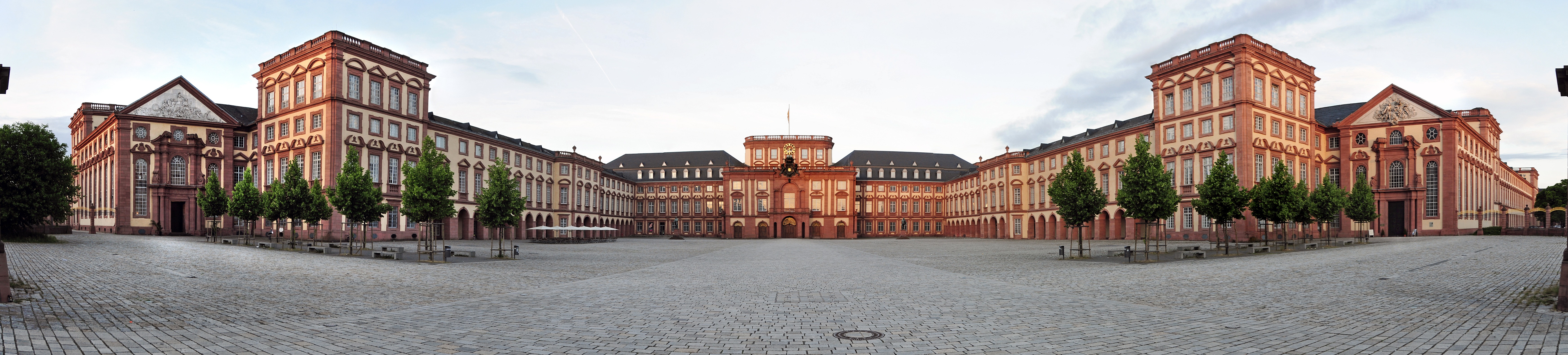
Deutsch: Schloss Mannheim, Ehrenhof, Panorama 180 Grad - aus 5 Aufnahmen zusammengesetzt
English: Mannheim Palace, panoramic view, 180 degrees - 5 pictures stitched
Français : Château de Mannheim
Italiano: Palazzo di Mannheim |
| Date | |
| Source | Own work |
| Author | Hubert Berberich (HubiB) |
| Permission (Reusing this file) |
Author: Hubert Berberich |
| Camera location | | View this and other nearby images on: OpenStreetMap |
|---|
Licensing
[edit]
This file is licensed under the Creative Commons Attribution 3.0 Unported license.
- You are free:
- to share – to copy, distribute and transmit the work
- to remix – to adapt the work
- Under the following conditions:
- attribution – You must give appropriate credit, provide a link to the license, and indicate if changes were made. You may do so in any reasonable manner, but not in any way that suggests the licensor endorses you or your use.
File history
Click on a date/time to view the file as it appeared at that time.
| Date/Time | Thumbnail | Dimensions | User | Comment | |
|---|---|---|---|---|---|
| current | 11:09, 16 June 2013 | 6,977 × 1,582 (3.26 MB) | HubiB (talk | contribs) | == {{int:filedesc}} == {{Information |Description = {{de|Schloss Mannheim, Ehrenhof, Panorama 180 Grad - aus 5 Ausnahmen zusammengesetzt}} {{en|Mannheim Palace, panoramic view, 180 degrees - 5 pictures stitched}} {{fr|Château de Mannheim}} {{it|Palazz... |
You cannot overwrite this file.
File usage on Commons
The following 2 pages use this file:
File usage on other wikis
The following other wikis use this file:
- Usage on be.wikipedia.org
- Usage on ckb.wikipedia.org
- Usage on de.wikipedia.org
- Usage on en.wikipedia.org
- Usage on es.wikipedia.org
- Usage on eu.wikipedia.org
- Usage on fr.wikipedia.org
- Usage on hy.wikipedia.org
- Usage on it.wikipedia.org
- Usage on mk.wikipedia.org
- Usage on nl.wikipedia.org
- Usage on pt.wikipedia.org
- Usage on uz.wikipedia.org
- Usage on zh.wikipedia.org