File:Schematische Darstellung der Wichmannsburg mitsamt der Umgebung.jpg
Jump to navigation
Jump to search
Size of this preview: 800 × 454 pixels. Other resolutions: 320 × 182 pixels | 640 × 363 pixels | 1,024 × 581 pixels | 1,280 × 727 pixels | 2,957 × 1,679 pixels.
Original file (2,957 × 1,679 pixels, file size: 830 KB, MIME type: image/jpeg)
Captions
Captions
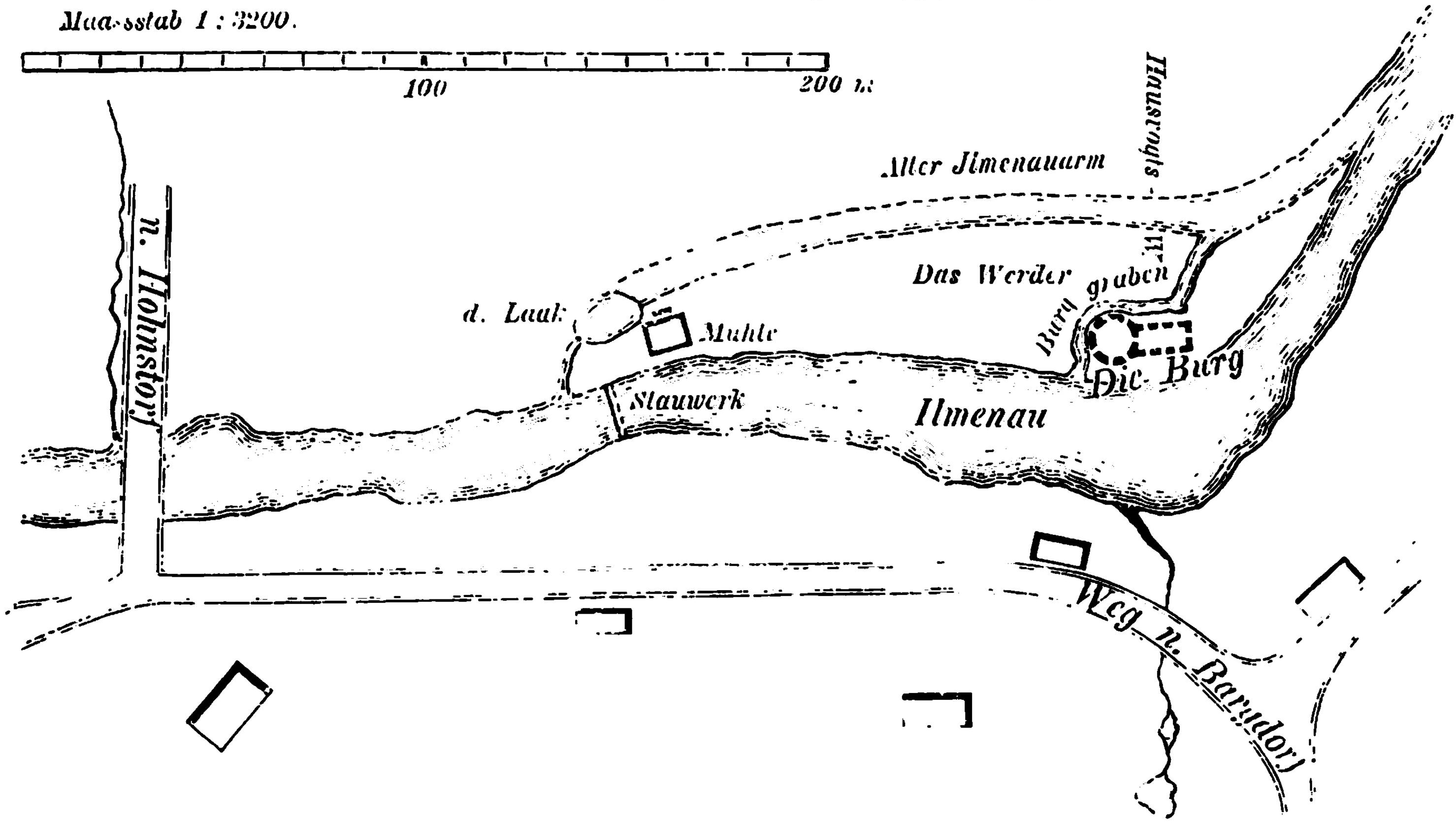
Schematic representation of Wichmannsburg Castle and its surroundings
Summary
[edit]
| Description |
Deutsch: Plan der Wichmannsburg mitsamt der unmittelbaren Umgebung. Der "Weg n. Bagdorf" entspricht der heutigen Burgstraße und der Weg "n. Hohnstorf" der Billungstraße. Die Karte wurde 1878 von Karl Kayser angefertigt.
English: Schematic representation of Wichmannsburg Castle and its surroundings. Made by Karl Kayser in 1878. The "Weg n. Bagdorf" corresponds to today's Burgstraße and the "Weg n. Hohnstorf" corresponds to Billungstraße. |
| Date | |
| Source | Kayser, K. (1878): Chronik des im Hannoverschen Amte Medingen belegenen Kirchspiels Wichmannsburg, Meyer: Hannover, S. 11. |
| Author | Karl Kayser |
Licensing
[edit]
|
This work is in the public domain in its country of origin and other countries and areas where the copyright term is the author's life plus 70 years or fewer. This work is in the public domain in the United States because it was published (or registered with the U.S. Copyright Office) before January 1, 1929. | |
| This file has been identified as being free of known restrictions under copyright law, including all related and neighboring rights. | |
File history
Click on a date/time to view the file as it appeared at that time.
| Date/Time | Thumbnail | Dimensions | User | Comment | |
|---|---|---|---|---|---|
| current | 08:49, 7 May 2020 | | 2,957 × 1,679 (830 KB) | FriedrichFrisch (talk | contribs) | Uploaded a work by Karl Kayser from Kayser, K. (1878): Chronik des im Hannoverschen Amte Medingen belegenen Kirchspiels Wichmannsburg, Meyer: Hannover, S. 11. with UploadWizard |
You cannot overwrite this file.
File usage on Commons
The following page uses this file:
File usage on other wikis
The following other wikis use this file:
- Usage on de.wikipedia.org
- Usage on www.wikidata.org