File:Scar House Reservoir - geograph.org.uk - 1063750.jpg
From Wikimedia Commons, the free media repository
Jump to navigation
Jump to search
Size of this preview: 800 × 534 pixels. Other resolutions: 320 × 213 pixels | 640 × 427 pixels | 1,024 × 683 pixels.
Original file (1,024 × 683 pixels, file size: 105 KB, MIME type: image/jpeg)
File information
Structured data
Captions
Summary
[edit]DescriptionScar House Reservoir - geograph.org.uk - 1063750.jpg |
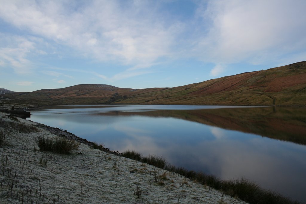
English: Scar House Reservoir |
||
Date | |||
Source | geograph.org.uk | ||
Author | Mark Anderson | ||
Permission (Reusing this file) |
This file is licensed under the Creative Commons Attribution-Share Alike 2.0 Generic license. Attribution: Mark Anderson
|
||
Attribution (required by the license) InfoField | Mark Anderson / Scar House Reservoir / | ||
InfoField | Mark Anderson / Scar House Reservoir |
Camera location | 54° 11′ 08″ N, 1° 54′ 01″ W | View this and other nearby images on: OpenStreetMap | 54.185630; -1.900300 |
---|
Object location | 54° 11′ 14″ N, 1° 54′ 22″ W | View this and other nearby images on: OpenStreetMap | 54.187160; -1.906000 |
---|
File history
Click on a date/time to view the file as it appeared at that time.
Date/Time | Thumbnail | Dimensions | User | Comment | |
---|---|---|---|---|---|
current | 14:19, 10 February 2019 | 1,024 × 683 (105 KB) | Geograph Update Bot (talk | contribs) | Higher-resolution version from Geograph. | |
05:02, 24 February 2011 | 640 × 427 (127 KB) | GeographBot (talk | contribs) | == {{int:filedesc}} == {{Information |description={{en|1=Scar House Reservoir}} |date=2008-11-29 |source=From [http://www.geograph.org.uk/photo/1063750 geograph.org.uk] |author=[http://www.geograph.org.uk/profile/760 Mark Anderson] |permission= |other_ver |
You cannot overwrite this file.
File usage on Commons
There are no pages that use this file.
Metadata
This file contains additional information such as Exif metadata which may have been added by the digital camera, scanner, or software program used to create or digitize it. If the file has been modified from its original state, some details such as the timestamp may not fully reflect those of the original file. The timestamp is only as accurate as the clock in the camera, and it may be completely wrong.
Camera manufacturer | Canon |
---|---|
Camera model | Canon EOS 350D DIGITAL |
Exposure time | 1/250 sec (0.004) |
F-number | f/10 |
ISO speed rating | 200 |
Date and time of data generation | 13:43, 29 November 2008 |
Lens focal length | 18 mm |
Orientation | Normal |
Horizontal resolution | 72 dpi |
Vertical resolution | 72 dpi |
File change date and time | 13:43, 29 November 2008 |
Y and C positioning | Co-sited |
Exposure Program | Normal program |
Exif version | 2.21 |
Date and time of digitizing | 13:43, 29 November 2008 |
Meaning of each component |
|
APEX shutter speed | 7.9657897949219 |
APEX aperture | 6.6438598632812 |
APEX exposure bias | 0 |
Metering mode | Pattern |
Flash | Flash did not fire, compulsory flash suppression |
Supported Flashpix version | 1 |
Color space | sRGB |
Focal plane X resolution | 3,954.233409611 |
Focal plane Y resolution | 3,958.7628865979 |
Focal plane resolution unit | inches |
Custom image processing | Normal process |
Exposure mode | Auto exposure |
White balance | Auto white balance |
Scene capture type | Standard |
Structured data
Items portrayed in this file
depicts
some value
54°11'8.27"N, 1°54'1.08"W
29 November 2008
54°11'13.78"N, 1°54'21.60"W
0.004 second
10
18 millimetre
200
image/jpeg
Hidden categories:
- CC-BY-SA-2.0
- Images from Geograph Britain and Ireland
- Images from Geograph Britain and Ireland missing SDC depicts
- Images from Geograph Britain and Ireland missing SDC location of creation
- Images from Geograph Britain and Ireland missing SDC geograph.org.uk image ID
- Information field template with formatting
- Files with coordinates missing SDC location of creation (54° N, 2° W)
- Images by Mark Anderson
- United Kingdom photographs taken on 2008-11-29