File:Satu Mare, Romania - panoramio (146).jpg
Jump to navigation
Jump to search

Size of this preview: 800 × 537 pixels. Other resolutions: 320 × 215 pixels | 640 × 430 pixels | 1,024 × 687 pixels | 1,280 × 859 pixels | 1,715 × 1,151 pixels.
Original file (1,715 × 1,151 pixels, file size: 815 KB, MIME type: image/jpeg)
Captions
Captions
Add a one-line explanation of what this file represents
Summary
[edit].jpg&action=edit§ion=1)
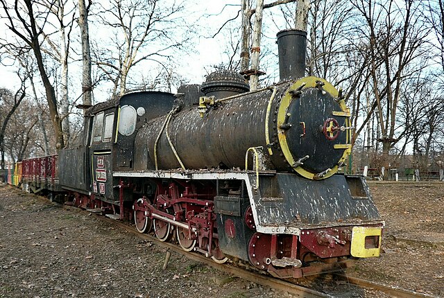
| Description | Satu Mare, Romania | ||
| Date | Taken on 21 February 2015 | ||
| Source | https://web.archive.org/web/20161102054233/http://www.panoramio.com/photo/118319995 | ||
| Author | Szemes Elek | ||
| Permission (Reusing this file) |
This file is licensed under the Creative Commons Attribution-Share Alike 3.0 Unported license. Attribution: Szemes Elek
|
||
| Panoramio Tags | Satu Mare, 2015, Județul Satu Mare, Románia, Satu Mare, Szatmár, Szatmár megye, Szatmárnémeti |
| Camera location | | View this and other nearby images on: OpenStreetMap |
|---|
.jpg¶ms=047.793804_N_0022.889032_E_globe:Earth_type:camera_source:Panoramio_&language=en)
File history
Click on a date/time to view the file as it appeared at that time.
| Date/Time | Thumbnail | Dimensions | User | Comment | |
|---|---|---|---|---|---|
| current | 10:44, 23 September 2023 | | 1,715 × 1,151 (815 KB) | Herbert Ortner (talk | contribs) | Cropped 6 % horizontally, 6 % vertically using CropTool with precise mode. |
| 20:35, 1 June 2017 |  | 1,826 × 1,226 (902 KB) | Panoramio upload bot (talk | contribs) | == {{int:filedesc}} == {{Information |description=Satu Mare, Romania |date={{Taken on|2015-02-21}} |source=http://www.panoramio.com/photo/118319995 |author=[http://www.panoramio.com/user/284747?with_photo_id=118319995 Szemes Elek] |permission={{cc-by-s... |
You cannot overwrite this file.
File usage on Commons
There are no pages that use this file.
File usage on other wikis
The following other wikis use this file:
- Usage on de.wikipedia.org
.jpg&oldid=812006197)