File:Satellite image Sicily - Location of Hyblaean Mountains.jpg
Jump to navigation
Jump to search
Size of this preview: 737 × 600 pixels. Other resolutions: 295 × 240 pixels | 590 × 480 pixels | 944 × 768 pixels | 1,259 × 1,024 pixels | 1,288 × 1,048 pixels.
Original file (1,288 × 1,048 pixels, file size: 199 KB, MIME type: image/jpeg)
Captions
Captions
Add a one-line explanation of what this file represents
Summary
[edit]
| Description |
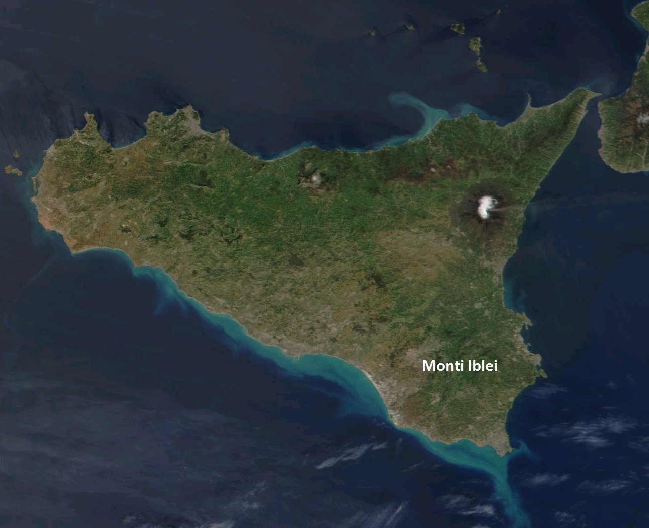
English: This true-color scene of a smoke plume streaming eastward from snow-capped Mount Etna was acquired on April 7, 2002, by the Moderate-resolution Imaging Spectroradiometer (MODIS), aboard NASA's Terra satellite. Mount Etna, towering above Catania, Sicily's second largest city, has one of the world's longest documented records of historical volcanism, dating back to 1500 BC. Historical lava flows cover much of the surface of this massive basaltic stratovolcano, the highest and most voluminous in Italy. |
| Date | |
| Source | Wikimedia Commons |
| Author | Nasa |
Licensing
[edit]
| This file is in the public domain in the United States because it was solely created by NASA. NASA copyright policy states that "NASA material is not protected by copyright unless noted". (See Template:PD-USGov, NASA copyright policy page or JPL Image Use Policy.) | ||
 |
Warnings:
|
File history
Click on a date/time to view the file as it appeared at that time.
| Date/Time | Thumbnail | Dimensions | User | Comment | |
|---|---|---|---|---|---|
| current | 14:47, 8 January 2017 | | 1,288 × 1,048 (199 KB) | Stella (talk | contribs) | User created page with UploadWizard |
You cannot overwrite this file.
File usage on Commons
The following page uses this file:
File usage on other wikis
The following other wikis use this file:
- Usage on it.wikipedia.org