File:Saskatchewan-census area 13.png
Jump to navigation
Jump to search

Size of this preview: 347 × 600 pixels. Other resolutions: 139 × 240 pixels | 379 × 655 pixels.
Original file (379 × 655 pixels, file size: 85 KB, MIME type: image/png)
Captions
Captions
Add a one-line explanation of what this file represents
Summary
[edit]
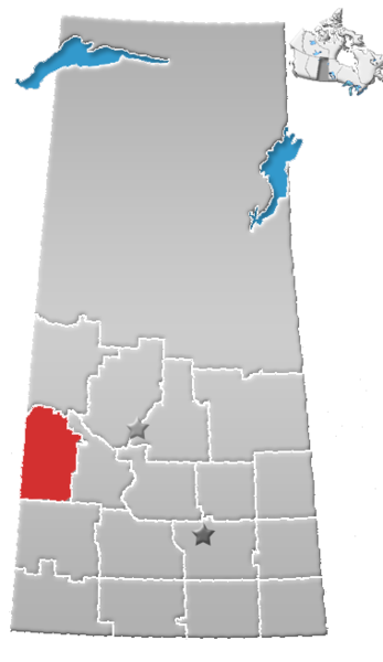
| Description | Saskatchewan census area No. 13 |
| Date | (UTC) |
| Source |
This file was derived from: SK-census divisions.png:  |
| Author |
|
| This is a retouched picture, which means that it has been digitally altered from its original version. The original can be viewed here: SK-census divisions.png:
|
Licensing
[edit]
I, the copyright holder of this work, hereby publish it under the following license:
| I, the copyright holder of this work, release this work into the public domain. This applies worldwide. In some countries this may not be legally possible; if so: I grant anyone the right to use this work for any purpose, without any conditions, unless such conditions are required by law. |
Original upload log
[edit]
This image is a derivative work of the following images:
- File:SK-census_divisions.png licensed with PD-self
Uploaded with derivativeFX
File history
Click on a date/time to view the file as it appeared at that time.
| Date/Time | Thumbnail | Dimensions | User | Comment | |
|---|---|---|---|---|---|
| current | 20:46, 1 August 2012 | | 379 × 655 (85 KB) | Feuerst (talk | contribs) | == {{int:filedesc}} == {{Information |Description=Saskatchewan census area No. 13 |Source={{Derived from|SK-census_divisions.png|display=50}} |Date=2012-08-01 20:31 (UTC) |Author=*File:SK-census_divisions.png: Qyd *derivative work: ... |
You cannot overwrite this file.
File usage on Commons
There are no pages that use this file.
File usage on other wikis
The following other wikis use this file:
- Usage on de.wikipedia.org
- Usage on en.wikipedia.org
- Coleville, Saskatchewan
- Kindersley
- Alsask
- Rural Municipality of Mariposa No. 350
- Brock, Saskatchewan
- Landis, Saskatchewan
- Cut Knife, Saskatchewan
- Unity, Saskatchewan
- Marengo, Saskatchewan
- Plenty, Saskatchewan
- Division No. 13, Saskatchewan
- Kerrobert
- Rural Municipality of Antelope Park No. 322
- Rural Municipality of Prairiedale No. 321
- Rural Municipality of Heart's Hill No. 352
- Rural Municipality of Eye Hill No. 382
- Rural Municipality of Senlac No. 411
- Rural Municipality of Milton No. 292
- Luseland
- Rural Municipality of Oakdale No. 320
- Rural Municipality of Kindersley No. 290
- Rural Municipality of Manitou Lake No. 442
- Scott, Saskatchewan
- Denzil, Saskatchewan
- Dodsland, Saskatchewan
- Rural Municipality of Winslow No. 319
- Flaxcombe, Saskatchewan
- Handel, Saskatchewan
- Tramping Lake, Saskatchewan
- Poundmaker Cree Nation
- Major, Saskatchewan
- Marsden, Saskatchewan
- Netherhill, Saskatchewan
- Neilburg
- Primate, Saskatchewan
- Senlac, Saskatchewan
- Smiley, Saskatchewan
- Beadle, Saskatchewan
- Broadacres, Saskatchewan
- Rural Municipality of Buffalo No. 409
- Rural Municipality of Cut Knife No. 439
- Rural Municipality of Grandview No. 349
- Rural Municipality of Grass Lake No. 381
- Rural Municipality of Hillsdale No. 440
- Rural Municipality of Tramping Lake No. 380
- Rural Municipality of Progress No. 351
- Rural Municipality of Reford No. 379
- Rural Municipality of Round Valley No. 410
- Rockhaven, Saskatchewan
View more global usage of this file.