File:Santurio della Madonna delle Grazie dietro al loto delle Valli del Mincio - panoramio.jpg
Jump to navigation
Jump to search
Size of this preview: 800 × 468 pixels. Other resolutions: 320 × 187 pixels | 640 × 374 pixels | 1,024 × 599 pixels | 1,280 × 749 pixels | 2,560 × 1,497 pixels | 4,108 × 2,403 pixels.
Original file (4,108 × 2,403 pixels, file size: 1.65 MB, MIME type: image/jpeg)
Captions
Captions
Add a one-line explanation of what this file represents
Summary
[edit]
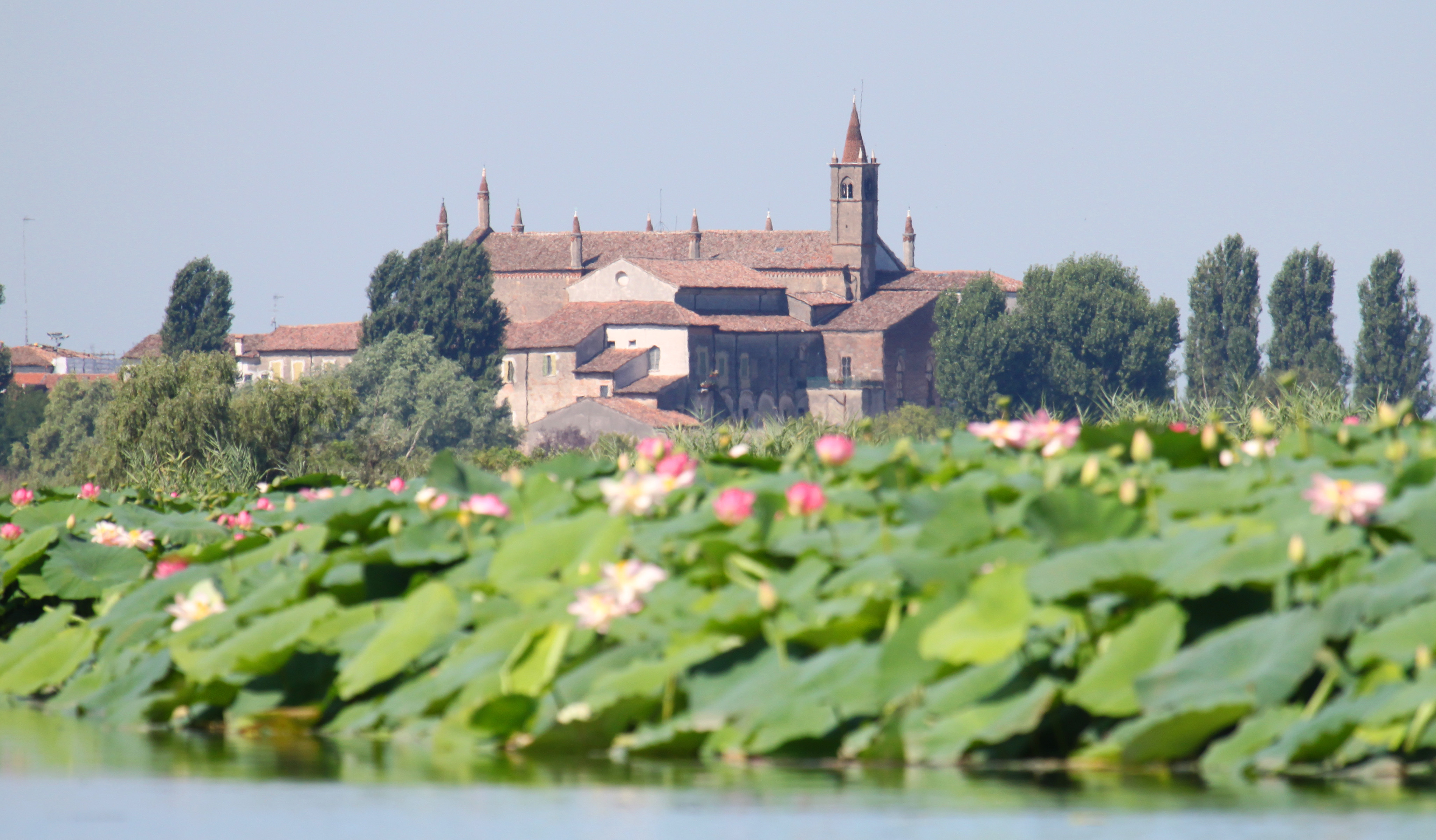
| Description | Santurio della Madonna delle Grazie dietro al loto delle Valli del Mincio | ||
| Date | Taken on 5 August 2009 | ||
| Source | https://web.archive.org/web/20161013233009/http://www.panoramio.com/photo/25816525 | ||
| Author | Carlo Pelagalli | ||
| Permission (Reusing this file) |
This file is licensed under the Creative Commons Attribution-Share Alike 3.0 Unported license. Attribution: Carlo Pelagalli
|
||
| Other versions | |||
| Tags (from Panoramio photo page) | Mantua, Lombardia, Luoghi di Maria, Valli del Mincio |
| Camera location | | View this and other nearby images on: OpenStreetMap |
|---|
File history
Click on a date/time to view the file as it appeared at that time.
| Date/Time | Thumbnail | Dimensions | User | Comment | |
|---|---|---|---|---|---|
| current | 01:32, 30 November 2016 | | 4,108 × 2,403 (1.65 MB) | Panoramio upload bot (talk | contribs) | == {{int:filedesc}} == {{Information |description=Santurio della Madonna delle Grazie dietro al loto delle Valli del Mincio |date={{Taken on|2009-08-05}} |source=http://www.panoramio.com/photo/25816525 |author=[http://www.panoramio.com/user/410152?with... |
You cannot overwrite this file.
File usage on Commons
The following page uses this file:
File usage on other wikis
The following other wikis use this file:
- Usage on en.wikipedia.org