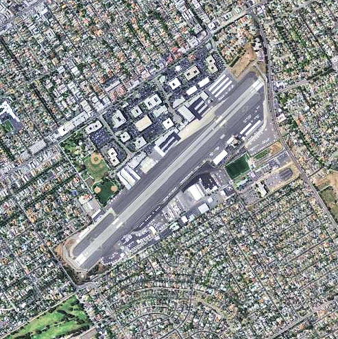
File:Santa Monica Airport - California.jpg
Jump to navigation
Jump to search
No higher resolution available.
Santa_Monica_Airport_-_California.jpg (493 × 495 pixels, file size: 142 KB, MIME type: image/jpeg)
Captions
Captions
Add a one-line explanation of what this file represents
Summary
[edit]
| Description | |
| Date | |
| Source |
USGS via TopoQuest |
| Author | United States Geological Survey (USGS) |
| Permission (Reusing this file) |
Public domain |
I learned to fly in Santa Monica in 1970 with Gunnel Aviation. Any one know Captain Pete Shafer. It was my best time of my life got the best training got my first Solo Private Aerobatics training. anyone from the time could reach me at rpathman@telus.net. Thanks you
Licensing
[edit]
This image is in the public domain in the United States because it only contains materials that originally came from the United States Geological Survey, an agency of the United States Department of the Interior. For more information, see the official USGS copyright policy.
|
File history
Click on a date/time to view the file as it appeared at that time.
| Date/Time | Thumbnail | Dimensions | User | Comment | |
|---|---|---|---|---|---|
| current | 13:43, 19 June 2012 | | 493 × 495 (142 KB) | Bwmoll3 (talk | contribs) | {{Information |Description ={{en|1=Santa Monica Airport - California}} |Source =http://www.topoquest.com/map.php?lat=34.015833&lon=-118.451389&datum=nad83&zoom=4&map=sat1m |Author =US Geological Survey |Date =2006 |Permissi... |
You cannot overwrite this file.
File usage on Commons
The following page uses this file:
File usage on other wikis
The following other wikis use this file:
- Usage on af.wikipedia.org
- Usage on arz.wikipedia.org
- Usage on ceb.wikipedia.org
- Usage on de.wikipedia.org
- Usage on en.wikipedia.org
- Usage on en.wikivoyage.org
- Usage on fi.wikipedia.org
- Usage on fr.wikivoyage.org
- Usage on id.wikipedia.org
- Usage on it.wikivoyage.org
- Usage on lv.wikipedia.org
- Usage on no.wikipedia.org
- Usage on ro.wikipedia.org
- Usage on ur.wikipedia.org
- Usage on www.wikidata.org