File:Santa Bárbara, MG - panoramio.jpg
Jump to navigation
Jump to search

Size of this preview: 800 × 600 pixels. Other resolutions: 320 × 240 pixels | 640 × 480 pixels | 1,024 × 768 pixels | 1,280 × 960 pixels | 1,600 × 1,200 pixels.
Original file (1,600 × 1,200 pixels, file size: 429 KB, MIME type: image/jpeg)
Captions
Captions
Add a one-line explanation of what this file represents
Summary
[edit]
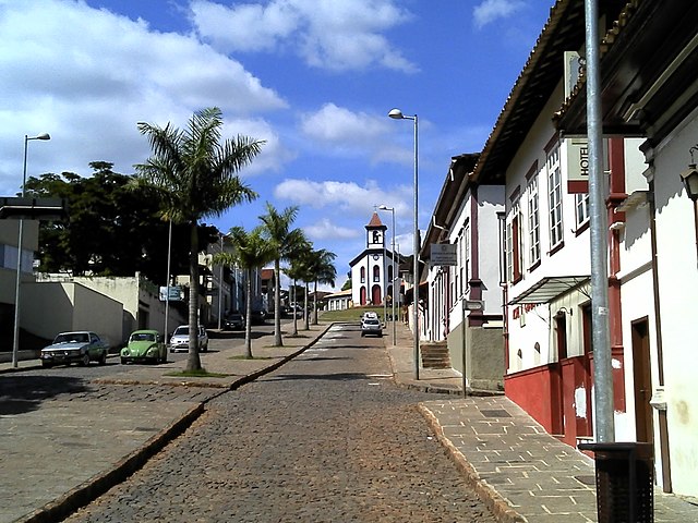
| Description | Santa Bárbara, MG | ||
| Date | Taken on 27 April 2013 | ||
| Source | https://web.archive.org/web/20161027010743/http://www.panoramio.com/photo/89601999 | ||
| Author | Eduardo Fabri | ||
| Permission (Reusing this file) |
This file is licensed under the Creative Commons Attribution-Share Alike 3.0 Unported license. Attribution: Eduardo Fabri
|
||
| Tags (from Panoramio photo page) | Santa Bárbara |
| Camera location | | View this and other nearby images on: OpenStreetMap |
|---|
File history
Click on a date/time to view the file as it appeared at that time.
| Date/Time | Thumbnail | Dimensions | User | Comment | |
|---|---|---|---|---|---|
| current | 22:54, 22 February 2017 | | 1,600 × 1,200 (429 KB) | Panoramio upload bot (talk | contribs) | == {{int:filedesc}} == {{Information |description=Santa Bárbara, MG |date={{Taken on|2013-04-27}} |source=http://www.panoramio.com/photo/89601999 |author=[http://www.panoramio.com/user/6319846?with_photo_id=89601999 Eduardo Fabri] |permission={{cc-by-... |
You cannot overwrite this file.
File usage on Commons
The following page uses this file:
File usage on other wikis
The following other wikis use this file:
- Usage on ceb.wikipedia.org
- Usage on ce.wikipedia.org
- Usage on en.wikipedia.org
- Usage on eo.wikipedia.org
- Usage on eu.wikipedia.org
- Usage on he.wikipedia.org
- Usage on it.wikipedia.org
- Usage on no.wikipedia.org
- Usage on pl.wikipedia.org
- Usage on ru.wikipedia.org
- Usage on tt.wikipedia.org
- Usage on uk.wikipedia.org
- Usage on vo.wikipedia.org
- Usage on www.wikidata.org