File:Sankt Pers kyrkoruin int5.jpg
Jump to navigation
Jump to search

Size of this preview: 450 × 600 pixels. Other resolutions: 180 × 240 pixels | 360 × 480 pixels | 576 × 768 pixels | 768 × 1,024 pixels | 1,536 × 2,048 pixels | 3,000 × 4,000 pixels.
Original file (3,000 × 4,000 pixels, file size: 4.87 MB, MIME type: image/jpeg)
Captions
Captions
Add a one-line explanation of what this file represents
Summary
[edit]
| Description |
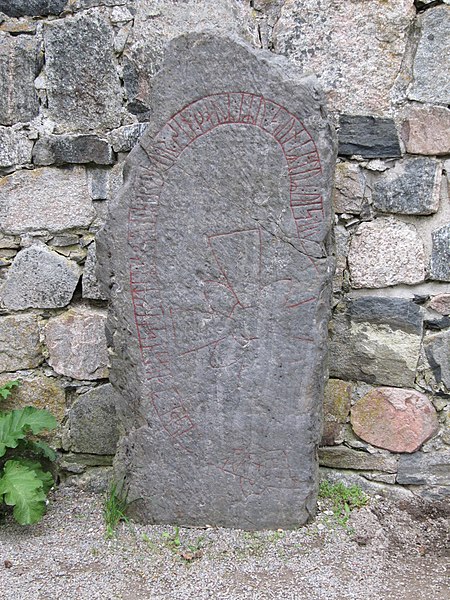
Svenska: Runsten U394
|
||
| Date | |||
| Source | Ulf Klingström | ||
| Author | Ulkl |
| Object location | | View this and other nearby images on: OpenStreetMap |
|---|
Licensing
[edit]
| I, the copyright holder of this work, release this work into the public domain. This applies worldwide. In some countries this may not be legally possible; if so: I grant anyone the right to use this work for any purpose, without any conditions, unless such conditions are required by law. |
File history
Click on a date/time to view the file as it appeared at that time.
| Date/Time | Thumbnail | Dimensions | User | Comment | |
|---|---|---|---|---|---|
| current | 17:12, 9 February 2013 | | 3,000 × 4,000 (4.87 MB) | Ulkl (talk | contribs) | {{Information |Description={{sv|1=Runsten U394}} |Source=Ulf Klingström |Date=2011-05-28 |Author=Ulkl |Permission= |other_versions= }} {{object location|59|36|58.6|N|17|42|49.8|E}} == {{int:license}} == {{PD-self}} [[Category:Sankt Per... |
You cannot overwrite this file.
File usage on Commons
There are no pages that use this file.
File usage on other wikis
The following other wikis use this file:
- Usage on da.wikipedia.org
- Usage on sv.wikipedia.org
- Usage on www.wikidata.org