File:Sandy Island, western Anguilla.svg
Jump to navigation
Jump to search

Size of this PNG preview of this SVG file: 653 × 599 pixels. Other resolutions: 262 × 240 pixels | 523 × 480 pixels | 837 × 768 pixels | 1,116 × 1,024 pixels | 2,232 × 2,048 pixels | 1,653 × 1,517 pixels.
Original file (SVG file, nominally 1,653 × 1,517 pixels, file size: 965 KB)
Captions
Captions
Add a one-line explanation of what this file represents
Summary
[edit]
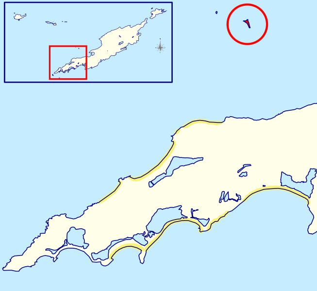
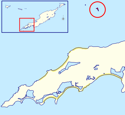
| Description | Locator map of Sandy Island, shown to the north off western Anguilla | |||
| Date | ||||
| Source | Anguilla blank.svg | |||
| Author | Hogweard | |||
| Permission (Reusing this file) |
This file is licensed under the Creative Commons Attribution-Share Alike 2.0 Generic license.
|
File history
Click on a date/time to view the file as it appeared at that time.
| Date/Time | Thumbnail | Dimensions | User | Comment | |
|---|---|---|---|---|---|
| current | 19:16, 7 April 2020 | | 1,653 × 1,517 (965 KB) | Hogweard (talk | contribs) | A bit clearer |
| 14:03, 7 April 2020 |  | 1,786 × 1,454 (964 KB) | Hogweard (talk | contribs) | == {{int:filedesc}} == {{Information |Description=Locator map of Sandy Island, shown to the north off western Anguilla |Source=Anguilla blank.svg |Date=2020-04-07 |Author={{u|Hogweard}} |Permission={{cc-by-sa-2.0}}{{ODbL OpenStreetMap}} |other_versions= }} Category:SVG maps of Anguilla Category:Locator maps of Anguilla Category:Sandy Island, Anguilla |
You cannot overwrite this file.
File usage on Commons
There are no pages that use this file.
File usage on other wikis
The following other wikis use this file:
- Usage on hr.wikipedia.org