File:Sandkrug Bümmersteder Straße Leuchtspur im Nebel.jpg
Jump to navigation
Jump to search
Size of this preview: 800 × 534 pixels. Other resolutions: 320 × 214 pixels | 640 × 427 pixels | 1,024 × 684 pixels | 1,280 × 855 pixels | 2,560 × 1,710 pixels | 5,416 × 3,617 pixels.
Original file (5,416 × 3,617 pixels, file size: 9.78 MB, MIME type: image/jpeg)
Captions
Captions
Add a one-line explanation of what this file represents
Summary
[edit]
| Description |
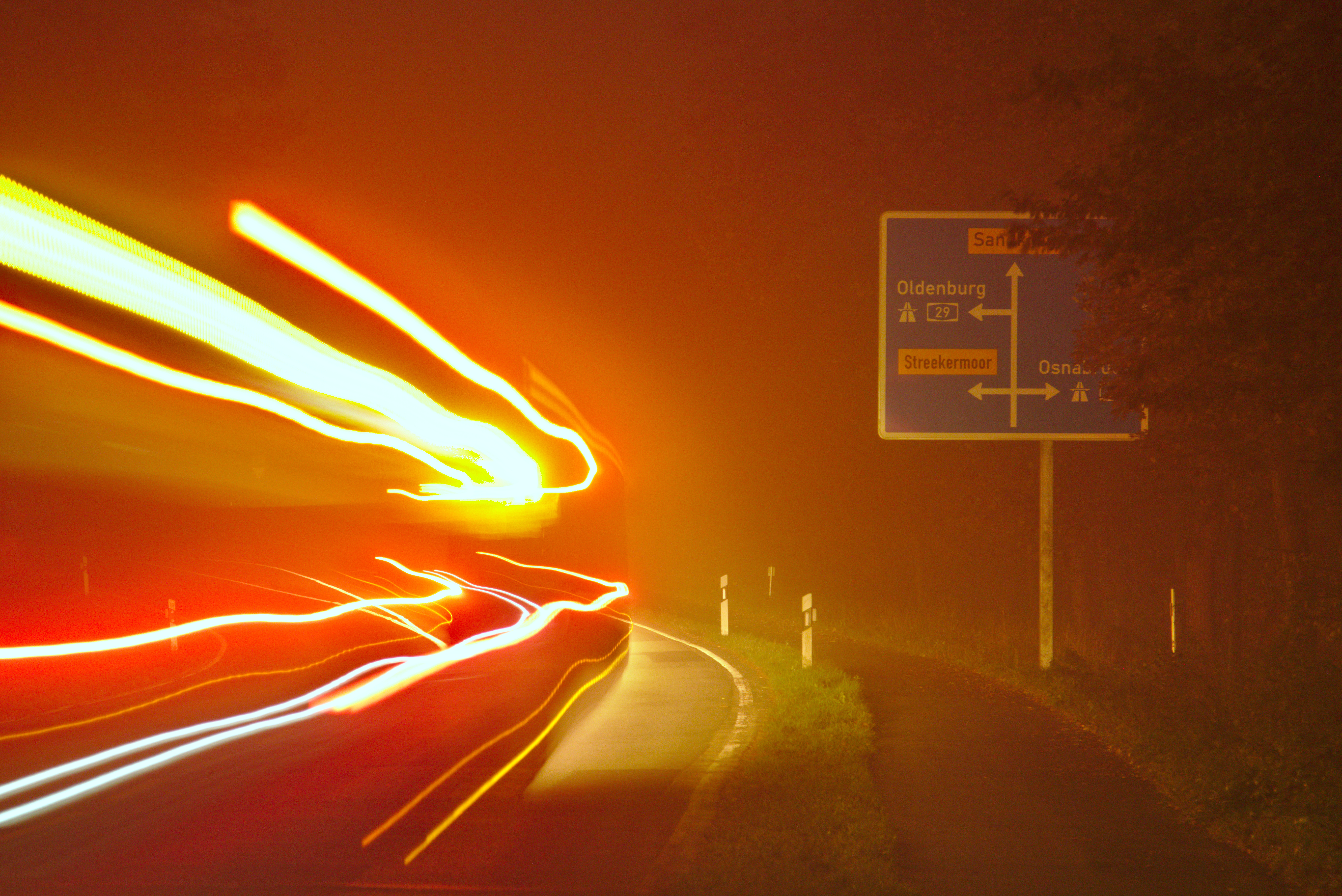
English: The Bümmersteder Straße street between the Tempelberg hill and Sandkrug motorway interchange in Hatten municipality, Lower Saxony, Germany. with the light trail of a bus passing by on a foggy evning in late autumn.
Deutsch: Die Bümmersteder Straße zwischen Tempelberg und Anschlussstelle Sandkrug, Gemeinde Hatten, Niedersachsen, mitsamt der Leuchtspur eines vorbei fahrenden Linienbusses an einem nebligen Abend im Spätherbst.
Polski: Ulica Bümmersteder Straße między pagórkiem Tempelberg a wjazdem na autostradę Sandkrug w gminie Hatten, Dolna Saksonia, Niemcy, wraz ze śladem świetlnym przejeżdżającego autobusa wieczorem mglistym późną jesienią. |
| Technical Specifications | This photograph was taken with a Canon EOS 70D |
| Image data | 19.59 mpx, 5416 × 3617 px (300 dpi: 459×306 mm, 150 dpi: 917×612 mm), 3:2, 9.8 MiB |
| Date | |
| Source | Own work |
| Author | Jacek Rużyczka |
| Camera location | | View this and other nearby images on: OpenStreetMap |
|---|
This image was created with darktable.
Licensing
[edit]
I, the copyright holder of this work, hereby publish it under the following license:
This file is licensed under the Creative Commons Attribution-Share Alike 4.0 International license.
- You are free:
- to share – to copy, distribute and transmit the work
- to remix – to adapt the work
- Under the following conditions:
- attribution – You must give appropriate credit, provide a link to the license, and indicate if changes were made. You may do so in any reasonable manner, but not in any way that suggests the licensor endorses you or your use.
- share alike – If you remix, transform, or build upon the material, you must distribute your contributions under the same or compatible license as the original.
File history
Click on a date/time to view the file as it appeared at that time.
| Date/Time | Thumbnail | Dimensions | User | Comment | |
|---|---|---|---|---|---|
| current | 20:52, 25 November 2019 | | 5,416 × 3,617 (9.78 MB) | Jacek79 (talk | contribs) | {{Information |description ={{en|1=The Bümmersteder Straße street between the Tempelberg hill and Sandkrug motorway interchange in Hatten municipality, Lower Saxony, Germany. with the light trail of a bus passing by on a foggy evning in late autumn.}} {{de|1=Die Bümmersteder Straße zwischen Tempelberg und Anschlussstelle Sandkrug, Gemeinde Hatten, Niedersachsen, mitsamt der Leuchtspur eines vorbei fahrenden Linienbusses an einem nebligen Abend im Spätherbst.}} {{pl|1=Ulica Bümmersteder Stra... |
You cannot overwrite this file.
File usage on Commons
The following 3 pages use this file: