File:Sandal lake Yagodny Navolok island Ershi village 2021 pano.jpg
Jump to navigation
Jump to search

Size of this preview: 800 × 245 pixels. Other resolutions: 320 × 98 pixels | 640 × 196 pixels | 1,024 × 314 pixels | 1,280 × 392 pixels | 5,300 × 1,623 pixels.
Original file (5,300 × 1,623 pixels, file size: 4.49 MB, MIME type: image/jpeg)
Captions
Captions
Add a one-line explanation of what this file represents
Summary
[edit]
| Description |
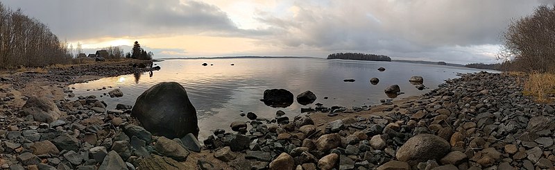
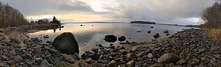
Русский: Озеро Сандал, остров Ягодный Наволок, посёлок Ерши, 2021.
English: Sandal lake, Yagodny Navolok island, Ershi village, 2021. |
||||||||||||||||
| Date | |||||||||||||||||
| Source | Own work | ||||||||||||||||
| Author |
|
||||||||||||||||
| Permission (Reusing this file) |
|
||||||||||||||||
| Camera location | | View this and other nearby images on: OpenStreetMap |
|---|
File history
Click on a date/time to view the file as it appeared at that time.
| Date/Time | Thumbnail | Dimensions | User | Comment | |
|---|---|---|---|---|---|
| current | 13:51, 9 November 2021 | 5,300 × 1,623 (4.49 MB) | AKA MBG (talk | contribs) | Uploaded own work with UploadWizard |
You cannot overwrite this file.
File usage on Commons
The following page uses this file:
File usage on other wikis
The following other wikis use this file:
- Usage on ru.wikinews.org
- Usage on www.wikidata.org