File:San Vicente Department, El Salvador - panoramio.jpg
Jump to navigation
Jump to search

Size of this preview: 800 × 600 pixels. Other resolutions: 320 × 240 pixels | 640 × 480 pixels | 1,024 × 768 pixels | 1,280 × 960 pixels | 2,560 × 1,920 pixels | 3,264 × 2,448 pixels.
Original file (3,264 × 2,448 pixels, file size: 3.31 MB, MIME type: image/jpeg)
Captions
Captions
Add a one-line explanation of what this file represents
Summary
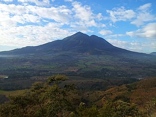
[edit]| Description | San Vicente Department, El Salvador | ||
| Date | Taken on 23 January 2012 | ||
| Source | https://web.archive.org/web/20161025084600/http://www.panoramio.com/photo/70673764 | ||
| Author | davidjoviera | ||
| Permission (Reusing this file) |
This file is licensed under the Creative Commons Attribution 3.0 Unported license. Attribution: davidjoviera
|
||
| Other versions | |||
| Tags (from Panoramio photo page) | San Vicente Department |
| Camera location | | View this and other nearby images on: OpenStreetMap |
|---|

.jpg)
File history
Click on a date/time to view the file as it appeared at that time.
| Date/Time | Thumbnail | Dimensions | User | Comment | |
|---|---|---|---|---|---|
| current | 00:07, 30 December 2016 | | 3,264 × 2,448 (3.31 MB) | Panoramio upload bot (talk | contribs) | == {{int:filedesc}} == {{Information |description=San Vicente Department, El Salvador |date={{Taken on|2012-01-23}} |source=http://www.panoramio.com/photo/70673764 |author=[http://www.panoramio.com/user/1703043?with_photo_id=70673764 davidjoviera] |per... |
You cannot overwrite this file.
File usage on Commons
The following 2 pages use this file:
File usage on other wikis
The following other wikis use this file:
- Usage on ar.wikipedia.org
- Usage on br.wikipedia.org
- Usage on ca.wikipedia.org
- Usage on ceb.wikipedia.org
- Usage on el.wikipedia.org
- Usage on eo.wikipedia.org
- Usage on es.wikipedia.org
- Usage on gl.wikipedia.org
- Usage on ka.wikipedia.org
- Usage on pl.wikipedia.org
- Usage on pt.wikipedia.org
- Usage on ro.wikipedia.org
- Usage on ru.wikipedia.org
- Usage on uk.wikipedia.org
- Usage on www.wikidata.org