File:San Carlos NegOcc.jpg
Jump to navigation
Jump to search

Size of this preview: 800 × 452 pixels. Other resolutions: 320 × 181 pixels | 640 × 362 pixels | 1,024 × 579 pixels | 1,280 × 723 pixels | 2,048 × 1,157 pixels.
Original file (2,048 × 1,157 pixels, file size: 835 KB, MIME type: image/jpeg)
Captions
Captions
Add a one-line explanation of what this file represents
Summary
[edit]
| Description |
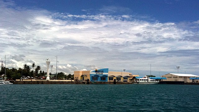
English: Port of San Carlos, Negros Occidental, Philippines |
| Date | |
| Source | panoramio |
| Author | Robert Breivik |
| Camera location | | View this and other nearby images on: OpenStreetMap |
|---|
Licensing
[edit]
This file is licensed under the Creative Commons Attribution-Share Alike 3.0 Unported license.
- You are free:
- to share – to copy, distribute and transmit the work
- to remix – to adapt the work
- Under the following conditions:
- attribution – You must give appropriate credit, provide a link to the license, and indicate if changes were made. You may do so in any reasonable manner, but not in any way that suggests the licensor endorses you or your use.
- share alike – If you remix, transform, or build upon the material, you must distribute your contributions under the same or compatible license as the original.
| This image, which was originally posted to Panoramio, was reviewed on 7 March 2013 by the administrator or trusted user Morning Sunshine, who confirmed that it was available on Panoramio under the above license on that date. |
File history
Click on a date/time to view the file as it appeared at that time.
| Date/Time | Thumbnail | Dimensions | User | Comment | |
|---|---|---|---|---|---|
| current | 05:27, 7 March 2013 | | 2,048 × 1,157 (835 KB) | P199 (talk | contribs) | {{Information |Description={{en|Port of San Carlos, Negros Occidental, Philippines}} |Source=[http://www.panoramio.com/photo/49474051 panoramio] |Date=2010-04-01 11:16 |Author=[http://www.panoramio.com/user/1108561 Robert Breivik] |Permission= |other_v... |
You cannot overwrite this file.
File usage on Commons
The following 2 pages use this file:
File usage on other wikis
The following other wikis use this file:
- Usage on ar.wikipedia.org
- Usage on bcl.wikipedia.org
- Usage on ca.wikipedia.org
- Usage on cbk-zam.wikipedia.org
- Usage on ceb.wikipedia.org
- Usage on en.wikipedia.org
- Usage on en.wikivoyage.org
- Usage on eo.wikipedia.org
- Usage on fr.wikipedia.org
- Usage on ja.wikipedia.org
- Usage on ms.wikipedia.org
- Usage on no.wikipedia.org
- Usage on pag.wikipedia.org
- Usage on pam.wikipedia.org
- Usage on pl.wikipedia.org
- Usage on pt.wikipedia.org
- Usage on szl.wikipedia.org
- Usage on tl.wikipedia.org
- Usage on tt.wikipedia.org
- Usage on www.wikidata.org