File:Saltfleetby National Nature Reserve - geograph.org.uk - 1038309.jpg
Jump to navigation
Jump to search
No higher resolution available.
Saltfleetby_National_Nature_Reserve_-_geograph.org.uk_-_1038309.jpg (640 × 457 pixels, file size: 158 KB, MIME type: image/jpeg)
Captions
Captions
Add a one-line explanation of what this file represents
Summary
[edit]
| Description |
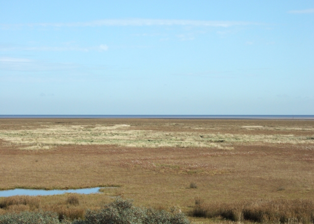
English: Saltfleetby National Nature Reserve Looking out across the reserve from the top of the dunes.
Saltfleetby-Theddlethorpe Dunes NNR is on the Lincolnshire coast, the site comprising 8 km of coastal dunes and foreshore. The dunes began forming in the 13th century and are reputed to have largely been thrown up in one great storm. The same processes of wind and tidal action continue dune formation on the site today and this is one of those parts of the east coast that is accreting rather than eroding away. The reserve's dunes support a variety of flowers and grasses while saltmarsh and freshwater marsh areas are home to a wide variety of insects, amphibians, birds and mammals. |
| Date | |
| Source | From geograph.org.uk |
| Author | Simon Huguet |
| Attribution (required by the license) | Simon Huguet / Saltfleetby National Nature Reserve / |
| Camera location | | View this and other nearby images on: OpenStreetMap |
|---|
_heading:67.00&language=en)
| Object location | | View this and other nearby images on: OpenStreetMap |
|---|
_heading:67.00&language=en)
Licensing
[edit]

|
This image was taken from the Geograph project collection. See this photograph's page on the Geograph website for the photographer's contact details. The copyright on this image is owned by Simon Huguet and is licensed for reuse under the Creative Commons Attribution-ShareAlike 2.0 license.
|
This file is licensed under the Creative Commons Attribution-Share Alike 2.0 Generic license.
Attribution: Simon Huguet
- You are free:
- to share – to copy, distribute and transmit the work
- to remix – to adapt the work
- Under the following conditions:
- attribution – You must give appropriate credit, provide a link to the license, and indicate if changes were made. You may do so in any reasonable manner, but not in any way that suggests the licensor endorses you or your use.
- share alike – If you remix, transform, or build upon the material, you must distribute your contributions under the same or compatible license as the original.
File history
Click on a date/time to view the file as it appeared at that time.
| Date/Time | Thumbnail | Dimensions | User | Comment | |
|---|---|---|---|---|---|
| current | 18:54, 23 February 2011 | | 640 × 457 (158 KB) | GeographBot (talk | contribs) | == {{int:filedesc}} == {{Information |description={{en|1=Saltfleetby National Nature Reserve Looking out across the reserve from the top of the dunes. Saltfleetby-Theddlethorpe Dunes NNR is on the Lincolnshire coast, the site comprising 8 km of coastal d |
You cannot overwrite this file.
File usage on Commons
There are no pages that use this file.