File:Saldinskiy rayon (Tagilskiy okrug of Uralic Region of RSFSR, 1928).jpg
Jump to navigation
Jump to search

Size of this preview: 536 × 599 pixels. Other resolutions: 215 × 240 pixels | 429 × 480 pixels | 687 × 768 pixels | 915 × 1,024 pixels | 1,722 × 1,926 pixels.
Original file (1,722 × 1,926 pixels, file size: 477 KB, MIME type: image/jpeg)
Captions
Captions
Add a one-line explanation of what this file represents
Summary
[edit].jpg&action=edit§ion=1)
| Description |
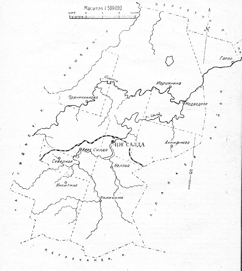
English: Map of Saldinskiy rayon (Tagilskiy okrug of Uralic Region of RSFSR) in 1928.
Русский: Карта Салдинского района (Тагильский округ Уральской области РСФСР) в 1928 году. |
| Date | |
| Source | Список населенных пунктов Уральской области. Том XI Тагильский округ. |
| Author | Издание огротдела Уралоблисполкома, Уралстатуправления и окружных исполкомов |
Licensing
[edit].jpg&action=edit§ion=2)
|
This work is in the public domain in its country of origin and other countries and areas where the copyright term is the author's life plus 70 years or fewer. | |
| This file has been identified as being free of known restrictions under copyright law, including all related and neighboring rights. | |
File history
Click on a date/time to view the file as it appeared at that time.
| Date/Time | Thumbnail | Dimensions | User | Comment | |
|---|---|---|---|---|---|
| current | 01:15, 20 March 2010 | | 1,722 × 1,926 (477 KB) | Emaus (talk | contribs) | {{Information |Description={{en|1=Map of Saldinskiy rayon (Tagilskiy okrug of Uralic Region of RSFSR) in 1928.}} {{ru|1=Карта Салдинского района (Тагильский округ Уральской области РСФСР) в 1928 � |
You cannot overwrite this file.
File usage on Commons
There are no pages that use this file.
.jpg&oldid=628862785)