File:Sagittarius serpentarius -Kalahari-8.jpg
From Wikimedia Commons, the free media repository
Jump to navigation
Jump to search
![File:Sagittarius serpentarius -Kalahari-8.jpg](https://upload.wikimedia.org/wikipedia/commons/thumb/d/da/Sagittarius_serpentarius_-Kalahari-8.jpg/800px-Sagittarius_serpentarius_-Kalahari-8.jpg?20081124223614)
Size of this preview: 800 × 531 pixels. Other resolutions: 320 × 213 pixels | 640 × 425 pixels | 1,024 × 680 pixels | 1,280 × 850 pixels | 2,560 × 1,700 pixels | 3,677 × 2,442 pixels.
Original file (3,677 × 2,442 pixels, file size: 1.84 MB, MIME type: image/jpeg)
File information
Structured data
Captions
Captions
Add a one-line explanation of what this file represents
Camera location | 26° 13′ 49.74″ S, 20° 48′ 23.92″ E ![]() | View this and other nearby images on: OpenStreetMap | ![]() |
---|
DescriptionSagittarius serpentarius -Kalahari-8.jpg |
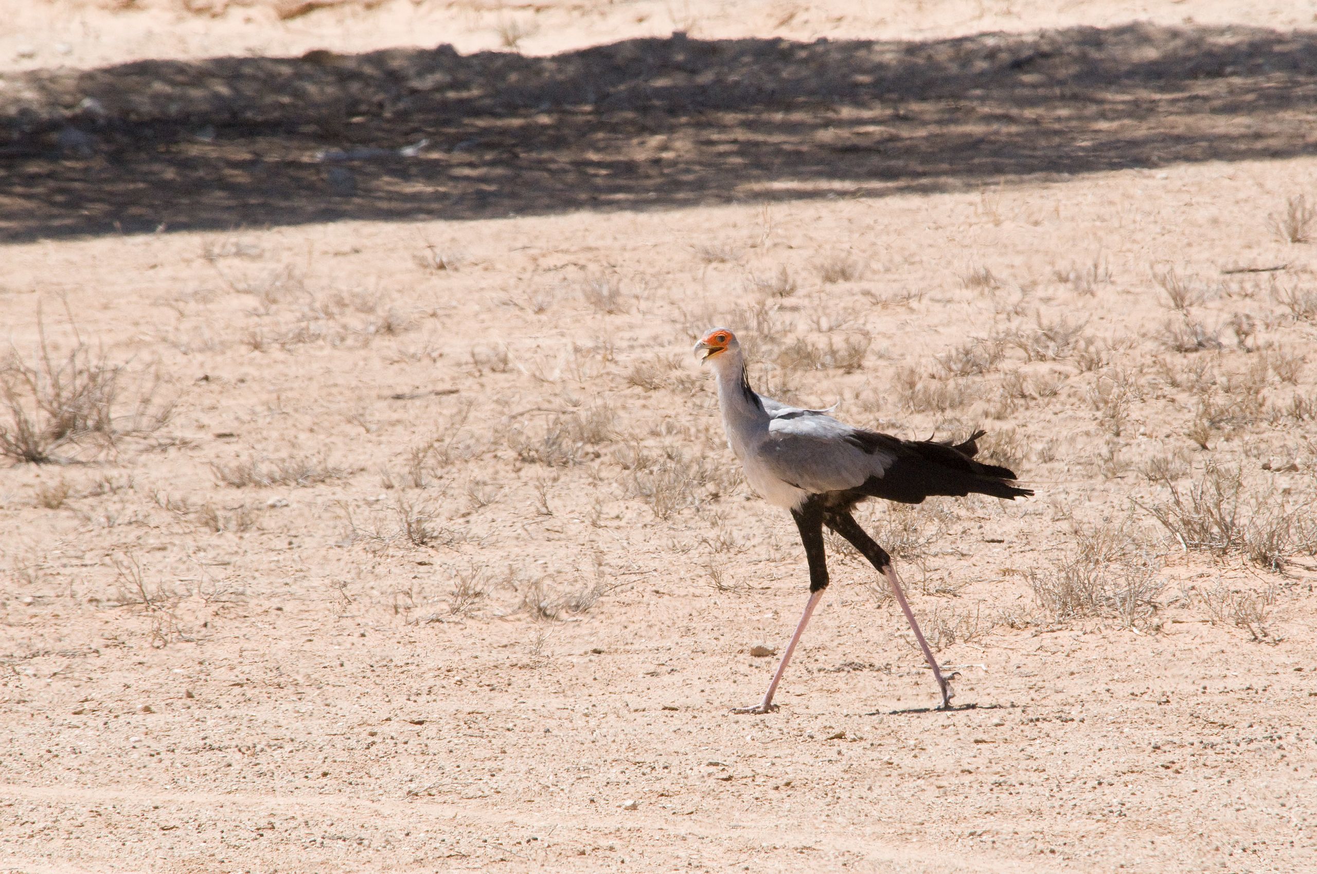
English: Secretary Bird (Sagittarius serpentarius) in the Kalahari of Botswana or South Africa. |
||
Date | |||
Source | originally posted to Flickr as Secretary Bird | ||
Author | Chris Eason | ||
Permission (Reusing this file) |
![]() ![]() This file is licensed under the Creative Commons Attribution 2.0 Generic license.
|
||
Other versions | Derivative works of this file: Sagittarius serpentarius -Kalahari-8-4c.jpg |
File history
Click on a date/time to view the file as it appeared at that time.
Date/Time | Thumbnail | Dimensions | User | Comment | |
---|---|---|---|---|---|
current | 22:36, 24 November 2008 | ![]() | 3,677 × 2,442 (1.84 MB) | Flickr upload bot (talk | contribs) | Uploaded from http://flickr.com/photo/45189308@N00/3051966443 using Flickr upload bot |
You cannot overwrite this file.
File usage on Commons
The following page uses this file:
File usage on other wikis
The following other wikis use this file:
- Usage on de.wikipedia.org
- Usage on sv.wikipedia.org
Metadata
This file contains additional information such as Exif metadata which may have been added by the digital camera, scanner, or software program used to create or digitize it. If the file has been modified from its original state, some details such as the timestamp may not fully reflect those of the original file. The timestamp is only as accurate as the clock in the camera, and it may be completely wrong.
Camera manufacturer | NIKON CORPORATION |
---|---|
Camera model | NIKON D300 |
Exposure time | 1/1,250 sec (0.0008) |
F-number | f/14 |
ISO speed rating | 2,000 |
Date and time of data generation | 11:03, 1 November 2008 |
Lens focal length | 400 mm |
Latitude | 26° 13′ 49.74″ S |
Longitude | 20° 48′ 23.92″ E |
Altitude | 888.201 meters above sea level |
Horizontal resolution | 240 dpi |
Vertical resolution | 240 dpi |
Software used | RoboGEO v5.5.2 |
File change date and time | 10:55, 23 November 2008 |
Exposure Program | Manual |
Exif version | 2.21 |
Date and time of digitizing | 11:03, 1 November 2008 |
APEX shutter speed | 10.287712 |
APEX aperture | 7.61471 |
APEX exposure bias | 0 |
Maximum land aperture | 5 APEX (f/5.66) |
Metering mode | Pattern |
Light source | Unknown |
Flash | Flash did not fire |
DateTimeOriginal subseconds | 75 |
DateTimeDigitized subseconds | 75 |
Sensing method | One-chip color area sensor |
File source | Digital still camera |
Scene type | A directly photographed image |
Custom image processing | Normal process |
Exposure mode | Manual exposure |
White balance | Auto white balance |
Digital zoom ratio | 1 |
Focal length in 35 mm film | 600 mm |
Scene capture type | Standard |
Scene control | High gain up |
Contrast | Normal |
Saturation | Normal |
Sharpness | Normal |
Subject distance range | Unknown |
GPS time (atomic clock) | 09:03 |
Geodetic survey data used | WGS 1984 |
GPS date | 1 November 2008 |
GPS tag version | 0.0.2.2 |
Width | 3,677 px |
Height | 2,442 px |
Image width | 3,677 px |
Image height | 2,442 px |
Serial number of camera | 8001359 |
Lens used | 80.0-400.0 mm f/4.5-5.6 |
Keywords |
|
IIM version | 2 |