File:Sabi-gawa River lower reaches.jpg
Jump to navigation
Jump to search
No higher resolution available.
Sabi-gawa_River_lower_reaches.jpg (800 × 600 pixels, file size: 442 KB, MIME type: image/jpeg)
Captions
Captions
Add a one-line explanation of what this file represents
Summary
[edit]
| Description |
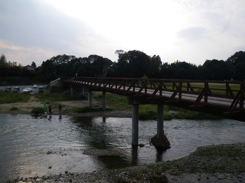
English: Sabigawa (Sabi River) lower reaches. Ōtawara, Tochigi, Japan.
|
| Date | |
| Source | Own work |
| Author | Kanohara (talk) |
| Camera location | | View this and other nearby images on: OpenStreetMap |
|---|
Licensing
[edit]
| I, the copyright holder of this work, release this work into the public domain. This applies worldwide. In some countries this may not be legally possible; if so: I grant anyone the right to use this work for any purpose, without any conditions, unless such conditions are required by law. |
File history
Click on a date/time to view the file as it appeared at that time.
| Date/Time | Thumbnail | Dimensions | User | Comment | |
|---|---|---|---|---|---|
| current | 12:59, 4 December 2009 | | 800 × 600 (442 KB) | Kanohara (talk | contribs) | {{Information |Description={{en|1=Sabigawa (Sabi River) lower reaches. Ōtawara, Tochigi, Japan.}} {{ja|1=蛇尾川下流域。大田原城址付近にて撮影。栃木県[[:ja:大田原市 |
You cannot overwrite this file.
File usage on Commons
There are no pages that use this file.
File usage on other wikis
The following other wikis use this file: