File:SWE-Map Län.svg

Original file (SVG file, nominally 290 × 660 pixels, file size: 65 KB)
Captions
Captions
| Description |
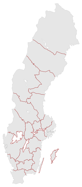
English: A blank map of the Counties of Sweden. It includes both all the counties as paths (grey with black borders) and a separate path (red) for simplified county borders. The map includes all changes up to and including Heby municipality being moved to Uppsala county in 2007.
This map differs from File:SWE-Map Län2007.svg in that it was based on SWE-Map Kommuner.svg rather then the separate county map data available from Statistics Sweden (SCB). Since there was a slight difference in perspective this means that the new map can directly combined with the municipalities map (and the other maps in the new map set). Additionally this map has had CSS compatibility added and the file name chosen to be year independent so as to allow future updates. For info on how to easiest edit the map see SWE-Map DocumentationSvenska: En tom karta över Sveriges län. Inkluderar både alla län som separata objekt (grå med svarta gränser) samt ett förenklat länsgränsobjekt (röda linjer). Inkluderar alla förändringar fram till (och inkluderande) Heby kommuns överföring till Uppsala län 2007.
För information om hur kartan lättast modifieras se SWE-Map Documentation |
| Date | |
| Source |
The map was edited and modified by Lokal_Profil from SWE-Map Kommuner.svg.
|
| Author | Lokal_Profil |
| Permission (Reusing this file) |
This file is licensed under the Creative Commons Attribution-Share Alike 2.5 Generic license. Attribution: Lokal_Profil
SCB allow free use (including commercial use and derivative work) of their map data, see below permission for confirmation |
| Other versions |
|


File history
Click on a date/time to view the file as it appeared at that time.
| Date/Time | Thumbnail | Dimensions | User | Comment | |
|---|---|---|---|---|---|
| current | 01:40, 2 May 2010 | | 290 × 660 (65 KB) | Lokal Profil (talk | contribs) | Minor correction |
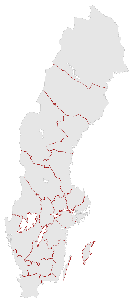
| 17:20, 1 May 2010 |  | 290 × 660 (65 KB) | Lokal Profil (talk | contribs) | {{Information |Description={{en|A blank map of the Counties of Sweden. It includes both all the counties as paths (grey with black borders) and a separate path (red) for simplified county borders. The map includes all changes up to and including [[:Catego |
You cannot overwrite this file.
File usage on Commons
The following 9 pages use this file:
File usage on other wikis
The following other wikis use this file:
- Usage on en.wikipedia.org
- Usage on pt.wikipedia.org