File:SWE-Map Län,1997.svg
Jump to navigation
Jump to search

Size of this PNG preview of this SVG file: 263 × 599 pixels. Other resolutions: 105 × 240 pixels | 211 × 480 pixels | 337 × 768 pixels | 450 × 1,024 pixels | 900 × 2,048 pixels | 290 × 660 pixels.
Original file (SVG file, nominally 290 × 660 pixels, file size: 54 KB)
Captions
Captions
Add a one-line explanation of what this file represents
| Description |
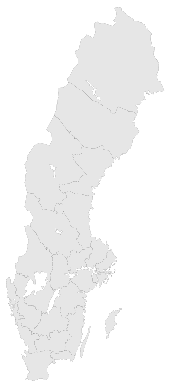
English: A blank map of the Counties of Sweden 1997-1997. The map has all paths tagged (CSS compatible) by the County Codes.
In 1998 Göteborgs och Bohus, Skaraborg and Älvsborg county merged to form Västra Götaland County. For info on how to easiest edit the map see SWE-Map DocumentationSvenska: En tom karta över Sveriges län 1997-1997.
1998 slogs Göteborgs och Bohus, Skaraborgs och Älvsborgs län ihop till Västra Götalands län. För information om hur kartan lättast modifieras se SWE-Map Documentation |
| Date | |
| Source |
The map was edited and modified by Lokal_Profil from SWE-Map Kommuner.svg.
|
| Author | Lokal_Profil |
| Permission (Reusing this file) |
This file is licensed under the Creative Commons Attribution-Share Alike 2.5 Generic license. Attribution: Lokal_Profil
SCB allow free use (including commercial use and derivative work) of their map data, see below permission for confirmation |
| Other versions |
|


File history
Click on a date/time to view the file as it appeared at that time.
| Date/Time | Thumbnail | Dimensions | User | Comment | |
|---|---|---|---|---|---|
| current | 01:42, 2 May 2010 | | 290 × 660 (54 KB) | Lokal Profil (talk | contribs) | Need to save changes BEFORE uploading |
| 01:39, 2 May 2010 |  | 290 × 660 (54 KB) | Lokal Profil (talk | contribs) | Minor correction | |
| 18:46, 1 May 2010 |  | 290 × 660 (54 KB) | Lokal Profil (talk | contribs) | {{Information |Description={{en|A blank map of the Counties of Sweden 1997-1997. The map has all paths tagged (CSS compatible) by the County Codes. In 1998 Göteborgs och Bohus, Skaraborg and Älvsborg county merged to form [[:Category:Västra Götalands |
You cannot overwrite this file.
File usage on Commons
The following 5 pages use this file: