File:SWE-Map Kammarrätter.svg
Jump to navigation
Jump to search

Size of this PNG preview of this SVG file: 263 × 599 pixels. Other resolutions: 105 × 240 pixels | 211 × 480 pixels | 337 × 768 pixels | 450 × 1,024 pixels | 900 × 2,048 pixels | 290 × 660 pixels.
Original file (SVG file, nominally 290 × 660 pixels, file size: 47 KB)
Captions
Captions
Add a one-line explanation of what this file represents
| Description |
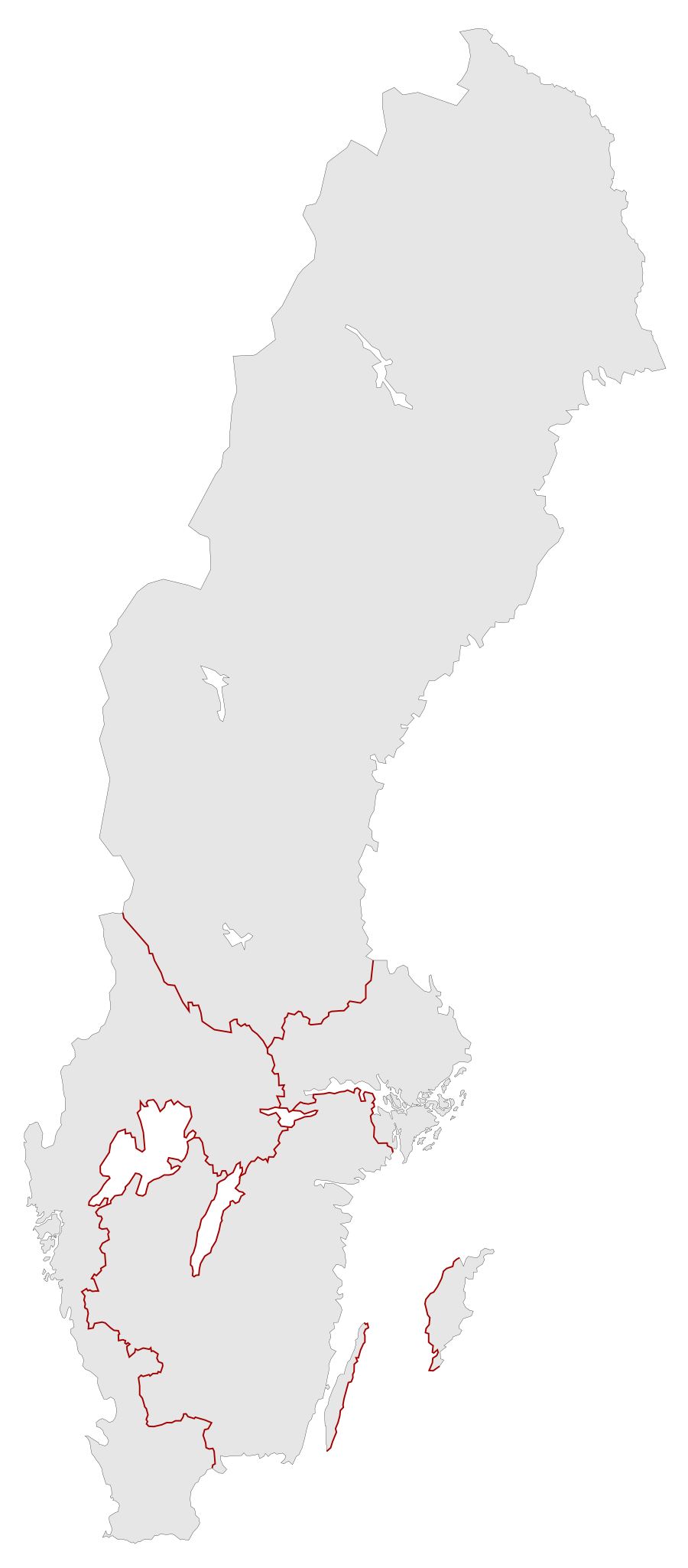
English: A blank map of the "Kammarrätter" of Sweden since 2010. It includes both all the courts as paths (grey with black borders) and a separate path (red) for simplified court borders.
For info on how to easiest edit the map see SWE-Map Documentation
Svenska: En tom karta över Sveriges kammarrätters domkretsar sedan 2010. Inkluderar både alla domkretsar som separata objekt (grå med svarta gränser) samt ett förenklat domkretsgränsobjekt (röda linjer).
För information om hur kartan lättast modifieras se SWE-Map Documentation |
| Date | |
| Source |
The map was edited and modified by Lokal_Profil from SWE-Map Kommuner.svg.
|
| Author | Lokal_Profil |
| Permission (Reusing this file) |
This file is licensed under the Creative Commons Attribution-Share Alike 2.5 Generic license. Attribution: Lokal_Profil
SCB allow free use (including commercial use and derivative work) of their map data, see below permission for confirmation |
File history
Click on a date/time to view the file as it appeared at that time.
| Date/Time | Thumbnail | Dimensions | User | Comment | |
|---|---|---|---|---|---|
| current | 16:19, 2 May 2010 | | 290 × 660 (47 KB) | Lokal Profil (talk | contribs) | fixed spelling in CSS |
| 13:31, 2 May 2010 |  | 290 × 660 (47 KB) | Lokal Profil (talk | contribs) | Borders path | |
| 01:48, 2 May 2010 |  | 290 × 660 (40 KB) | Lokal Profil (talk | contribs) | {{Information |Description={{en|A blank map of the "Kammarrätter" of Sweden. For info on how to easiest edit the map see SWE-Map Documentation}} {{sv|En tom karta över Sveriges [[:sv:Kammarrätter|kammarrät |
You cannot overwrite this file.
File usage on Commons
The following 4 pages use this file: