File:SVG locator maps of continents (Equirectangular projection, only outlines).svg
Jump to navigation
Jump to search

Size of this PNG preview of this SVG file: 800 × 400 pixels. Other resolutions: 320 × 160 pixels | 640 × 320 pixels | 1,024 × 512 pixels | 1,280 × 640 pixels | 2,560 × 1,279 pixels | 2,521 × 1,260 pixels.
Original file (SVG file, nominally 2,521 × 1,260 pixels, file size: 1,021 KB)
Captions
Captions
Add a one-line explanation of what this file represents
Summary
[edit].svg&action=edit§ion=1)
| Description |
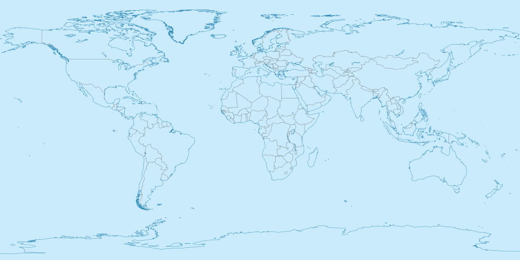
English: SVG map of the world, with only the outlines of countries and coastlines for easy editing. Similar to maps in Category:SVG locator maps of continents (location map scheme) (Equirectangular projection).
Français : Carte du monde en SVG, avec seulement les contours des pays et des côtes pour permettre une édition facile. Similaire aux cartes de Category:SVG locator maps of continents (location map scheme) (Equirectangular projection). |
| Date | |
| Source | File:Antarctica in the World (yellow).svg |
| Author | herrstrietzel |
.svg)
Licensing
[edit].svg&action=edit§ion=2)
I, the copyright holder of this work, hereby publish it under the following licenses:
This file is licensed under the Creative Commons Attribution-Share Alike 3.0 Unported license.
- You are free:
- to share – to copy, distribute and transmit the work
- to remix – to adapt the work
- Under the following conditions:
- attribution – You must give appropriate credit, provide a link to the license, and indicate if changes were made. You may do so in any reasonable manner, but not in any way that suggests the licensor endorses you or your use.
- share alike – If you remix, transform, or build upon the material, you must distribute your contributions under the same or compatible license as the original.

|
Permission is granted to copy, distribute and/or modify this document under the terms of the GNU Free Documentation License, Version 1.2 or any later version published by the Free Software Foundation; with no Invariant Sections, no Front-Cover Texts, and no Back-Cover Texts. A copy of the license is included in the section entitled GNU Free Documentation License. |
You may select the license of your choice.
File history
Click on a date/time to view the file as it appeared at that time.
| Date/Time | Thumbnail | Dimensions | User | Comment | |
|---|---|---|---|---|---|
| current | 07:17, 28 October 2023 | | 2,521 × 1,260 (1,021 KB) | SyntaxTerror (talk | contribs) | == {{int:filedesc}} == {{Information |Description= {{en|SVG map of the world, with only the outlines of countries and coastlines for easy editing. Similar to maps in Category:SVG locator maps of continents (location map scheme) (Equirectangular projection).}} {{fr|Carte du monde en SVG, avec seulement les contours des pays et des côtes pour permettre une édition facile. Similaire aux cartes de Category:SVG locator maps of continents (location map scheme) (Equirectangular projection)... |
You cannot overwrite this file.
File usage on Commons
There are no pages that use this file.
.svg&oldid=816420672)