File:SVG location map of Aïn Témouchent province with railways - relief.svg
Jump to navigation
Jump to search

Size of this PNG preview of this SVG file: 800 × 600 pixels. Other resolutions: 320 × 240 pixels | 640 × 480 pixels | 1,024 × 768 pixels | 1,280 × 960 pixels | 2,560 × 1,920 pixels | 1,920 × 1,440 pixels.
Original file (SVG file, nominally 1,920 × 1,440 pixels, file size: 1.72 MB)
Captions
Captions
Add a one-line explanation of what this file represents
Summary
[edit]
| Description |
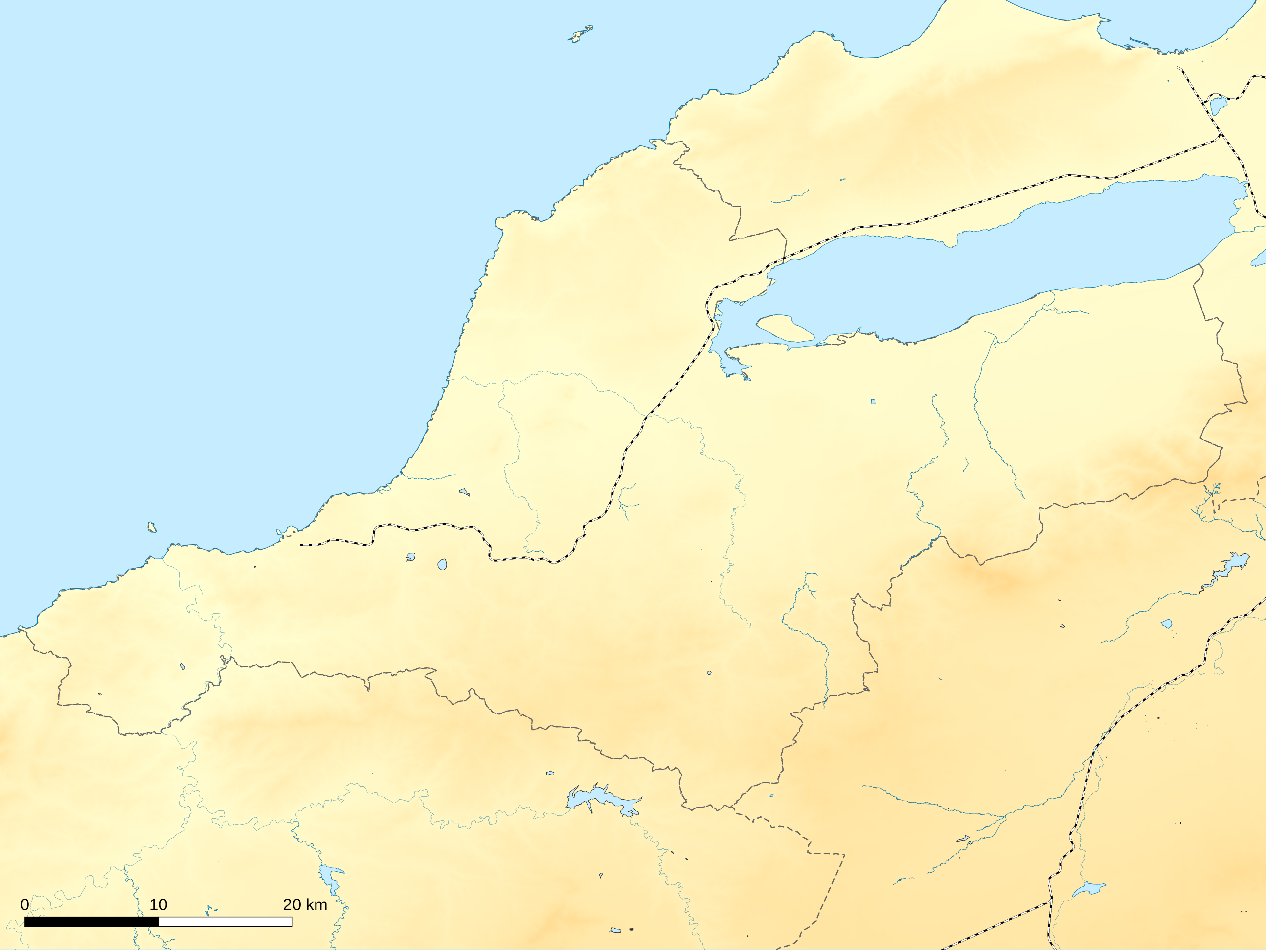
Français : SVG location map of Aïn Témouchent province with railways
Geographic limits of the map:
|
| Date | |
| Source | Own work |
| Author | Poudou99 |
Licensing
[edit]
I, the copyright holder of this work, hereby publish it under the following license:
This file is licensed under the Creative Commons Attribution 4.0 International license.
- You are free:
- to share – to copy, distribute and transmit the work
- to remix – to adapt the work
- Under the following conditions:
- attribution – You must give appropriate credit, provide a link to the license, and indicate if changes were made. You may do so in any reasonable manner, but not in any way that suggests the licensor endorses you or your use.
File history
Click on a date/time to view the file as it appeared at that time.
| Date/Time | Thumbnail | Dimensions | User | Comment | |
|---|---|---|---|---|---|
| current | 14:58, 15 August 2023 | | 1,920 × 1,440 (1.72 MB) | Poudou99 (talk | contribs) | Crop |
| 19:43, 13 August 2023 |  | 1,920 × 1,440 (1.88 MB) | Poudou99 (talk | contribs) | Uploaded own work with UploadWizard |
You cannot overwrite this file.
File usage on Commons
The following 2 pages use this file:
File usage on other wikis
The following other wikis use this file: