File:SKER 05-19v.jpg
Jump to navigation
Jump to search

Size of this preview: 400 × 600 pixels. Other resolutions: 160 × 240 pixels | 320 × 480 pixels | 512 × 768 pixels | 682 × 1,024 pixels | 1,365 × 2,048 pixels | 3,520 × 5,280 pixels.
Original file (3,520 × 5,280 pixels, file size: 1.48 MB, MIME type: image/jpeg)
Captions
Captions
Add a one-line explanation of what this file represents
| Strelbitsky maps, 1 : 420 000 | ||
|---|---|---|
| 4 лист (Виндава, Либава) |
13 лист (Рига, Митава) | |
| 5 лист (Сувалки) |
14 лист (Вильна, Ковно) | |
| 15 лист (Минскъ) | ||
.jpg)
Summary
[edit]
| Description |
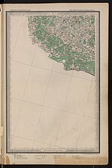
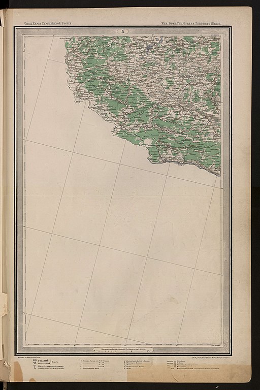
Русский: Лист 5-19 Специальной карты Европейской России. Масштаб - 10 вёрст в дюйме (в 1 см 4,2 км) |
||||
| Date | 1865–1871 | ||||
| Source | |||||
| Author | Стрельбицкий, Иван Афанасьевич | ||||
| Permission (Reusing this file) |
|
||||
File history
Click on a date/time to view the file as it appeared at that time.
| Date/Time | Thumbnail | Dimensions | User | Comment | |
|---|---|---|---|---|---|
| current | 08:53, 9 October 2021 | | 3,520 × 5,280 (1.48 MB) | CD (talk | contribs) | {{Information |Description={{ru|1=Лист 5-19 Специальной карты Европейской России. Масштаб - 10 вёрст в дюйме (в 1 см 4,2 км)}} |Source= |Author=Стрельбицкий, Иван Афанасьевич |Date=1865–1871 |Permission={{PD-old}} |other_versions= }} Category:Special Map of European Russia (1865–1871) |
You cannot overwrite this file.
File usage on Commons
The following page uses this file:
File usage on other wikis
The following other wikis use this file:
- Usage on lt.wikipedia.org