File:SGSSI-Location.JPG
Jump to navigation
Jump to search
Size of this preview: 800 × 407 pixels. Other resolutions: 320 × 163 pixels | 640 × 326 pixels | 1,024 × 521 pixels | 1,280 × 651 pixels | 2,759 × 1,404 pixels.
Original file (2,759 × 1,404 pixels, file size: 205 KB, MIME type: image/jpeg)
Captions
Captions
Add a one-line explanation of what this file represents
Summary
[edit]
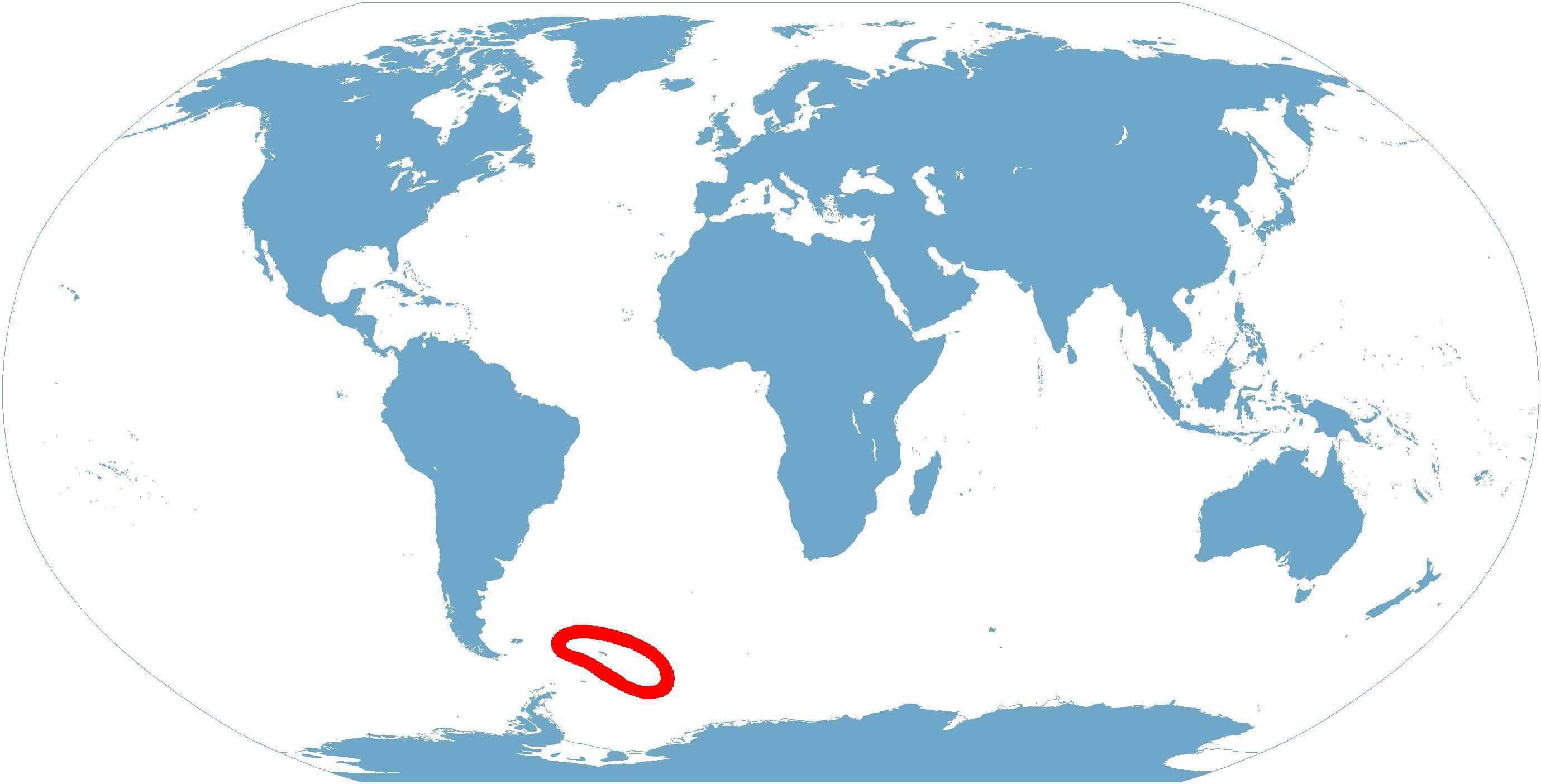
World map depicting South Georgia and the South Sandwich Islands; map adapted from PDF world map at CIA World Fact Book.
Updated October 18, 2006.
Licensing
[edit]
This image is in the public domain because it contains materials that originally came from the United States Central Intelligence Agency's World Factbook.
|
 |
File history
Click on a date/time to view the file as it appeared at that time.
| Date/Time | Thumbnail | Dimensions | User | Comment | |
|---|---|---|---|---|---|
| current | 12:32, 18 October 2006 | | 2,759 × 1,404 (205 KB) | Apcbg (talk | contribs) | == Summary == World map depicting South Georgia and the South Sandwich Islands; map adapted from PDF world map at CIA World Fact Book. Updated October 18, 2006. == Licensin |
You cannot overwrite this file.
File usage on Commons
There are no pages that use this file.