File:SDPM snowplow near Hotsy railway halt.JPG
From Wikimedia Commons, the free media repository
Jump to navigation
Jump to search
Size of this preview: 800 × 536 pixels. Other resolutions: 320 × 214 pixels | 640 × 428 pixels | 1,024 × 685 pixels | 1,280 × 857 pixels | 2,560 × 1,714 pixels | 3,872 × 2,592 pixels.
Original file (3,872 × 2,592 pixels, file size: 2.34 MB, MIME type: image/jpeg)
File information
Structured data
Captions
Summary
[edit]DescriptionSDPM snowplow near Hotsy railway halt.JPG |
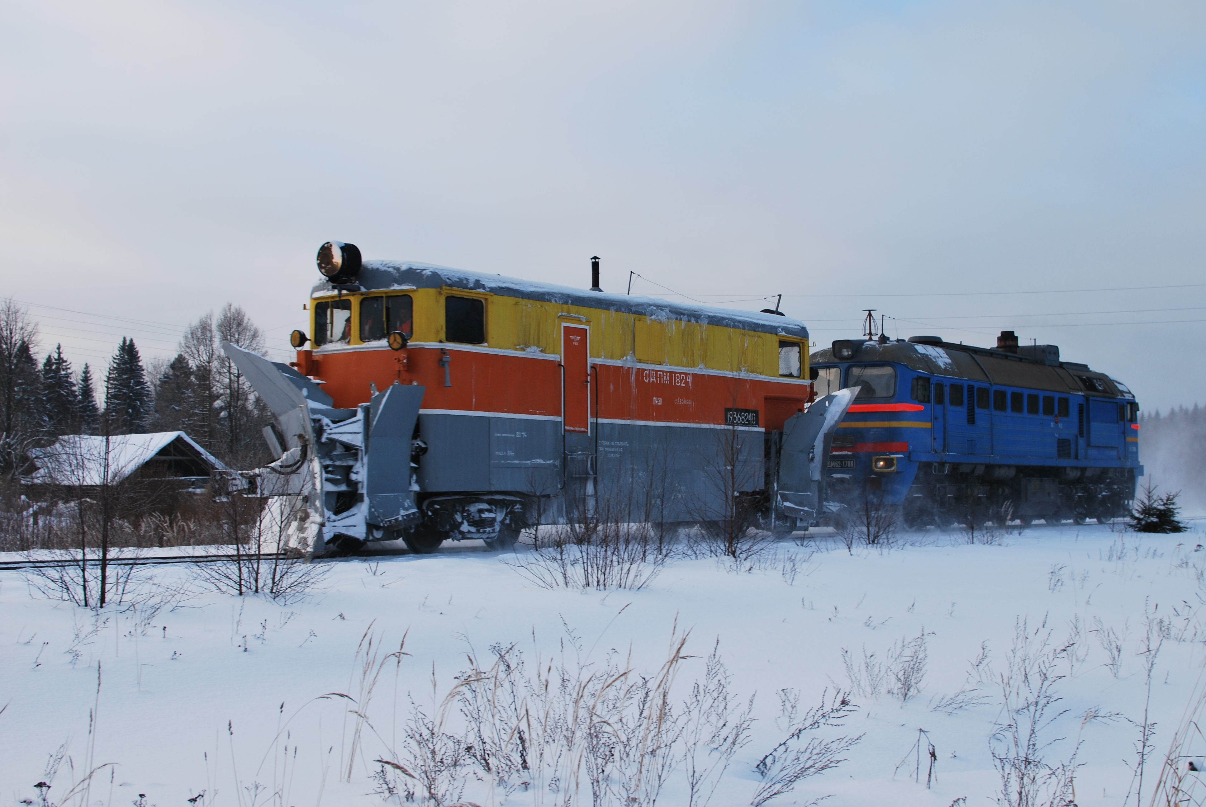
Русский: Снегоочиститель СДПМ возле остановочного пункта Хотцы, Новгородская область
English: SDPM snowplow near Hotsy railway halt, Novgorodskya oblast |
Date | |
Source | Own work |
Author | One half 3544 |
Camera location | 59° 09′ 12.14″ N, 33° 06′ 48.1″ E | View this and other nearby images on: OpenStreetMap | 59.153372; 33.113361 |
---|
Licensing
[edit]Public domainPublic domainfalsefalse |
I, the copyright holder of this work, release this work into the public domain. This applies worldwide. In some countries this may not be legally possible; if so: I grant anyone the right to use this work for any purpose, without any conditions, unless such conditions are required by law. |
File history
Click on a date/time to view the file as it appeared at that time.
Date/Time | Thumbnail | Dimensions | User | Comment | |
---|---|---|---|---|---|
current | 21:46, 25 January 2010 | 3,872 × 2,592 (2.34 MB) | One half 3544 (talk | contribs) | {{Information |Description= {{ru|Снегоочиститель СДПМ возле остановочного пункта Хотцы, Новгородская область}} {{en|SDPM snowplow near Hotsy railway halt, Novgorodskya oblast}} |Source={{o |
You cannot overwrite this file.
File usage on Commons
There are no pages that use this file.
File usage on other wikis
The following other wikis use this file:
- Usage on en.wikipedia.org
- Usage on hy.wikipedia.org
- Usage on it.wikipedia.org
- Usage on ru.wikipedia.org
Metadata
This file contains additional information such as Exif metadata which may have been added by the digital camera, scanner, or software program used to create or digitize it. If the file has been modified from its original state, some details such as the timestamp may not fully reflect those of the original file. The timestamp is only as accurate as the clock in the camera, and it may be completely wrong.
Camera manufacturer | NIKON CORPORATION |
---|---|
Camera model | NIKON D60 |
Exposure time | 1/160 sec (0.00625) |
F-number | f/6.3 |
ISO speed rating | 100 |
Date and time of data generation | 12:31, 9 January 2010 |
Lens focal length | 35 mm |
Altitude | 57 meters above sea level |
Orientation | Normal |
Horizontal resolution | 300 dpi |
Vertical resolution | 300 dpi |
Software used | Ver.1.01 |
File change date and time | 12:31, 9 January 2010 |
Y and C positioning | Co-sited |
Exposure Program | Normal program |
Exif version | 2.21 |
Date and time of digitizing | 12:31, 9 January 2010 |
Image compression mode | 2 |
APEX exposure bias | 0 |
Maximum land aperture | 1.6 APEX (f/1.74) |
Metering mode | Pattern |
Light source | Unknown |
Flash | Flash did not fire |
DateTime subseconds | 80 |
DateTimeOriginal subseconds | 80 |
DateTimeDigitized subseconds | 80 |
Color space | sRGB |
Sensing method | One-chip color area sensor |
Custom image processing | Normal process |
Exposure mode | Auto exposure |
White balance | Auto white balance |
Digital zoom ratio | 1 |
Focal length in 35 mm film | 52 mm |
Scene capture type | Standard |
Contrast | Normal |
Saturation | Normal |
Sharpness | Normal |
Subject distance range | Unknown |
North or south latitude | North latitude |
East or west longitude | East longitude |
Reference for direction of image | True direction |
Direction of image | 0 |
Geodetic survey data used | WGS-84 |
GPS date | 9 January 2010 |