File:Ryusendo Cave Underground Lake Cap 20201115.jpg
Jump to navigation
Jump to search

Size of this preview: 800 × 499 pixels. Other resolutions: 320 × 200 pixels | 640 × 399 pixels | 1,024 × 639 pixels | 1,280 × 799 pixels | 1,731 × 1,080 pixels.
Original file (1,731 × 1,080 pixels, file size: 1.48 MB, MIME type: image/jpeg)
Captions
Captions
Add a one-line explanation of what this file represents
Summary
[edit]
| Description | |||
| Date | |||
| Source | own work / RICOH THETA Z1 Capture | ||
| Author | --[[利用者:あおもりくま|あおもりくま]](会話) 2020年11月21日 (土) 01:16 (UTC) | ||
| Permission (Reusing this file) |
|
| Camera location | | View this and other nearby images on: OpenStreetMap |
|---|
Licensing
[edit]
| I, the copyright holder of this work, release this work into the public domain. This applies worldwide. In some countries this may not be legally possible; if so: I grant anyone the right to use this work for any purpose, without any conditions, unless such conditions are required by law. |
File history
Click on a date/time to view the file as it appeared at that time.
| Date/Time | Thumbnail | Dimensions | User | Comment | |
|---|---|---|---|---|---|
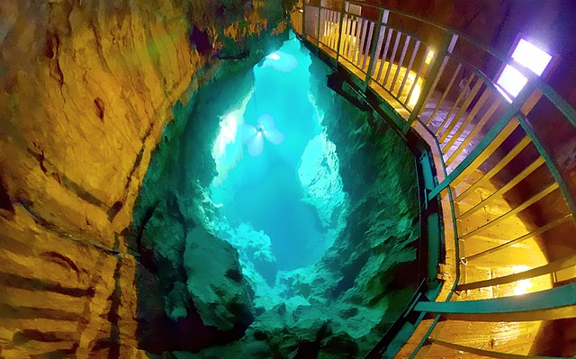
| current | 01:16, 21 November 2020 | | 1,731 × 1,080 (1.48 MB) | あおもりくま (talk | contribs) | {{Information |Description=日本国岩手県岩泉町に在る龍泉洞の地底湖 全天球画像 |Source=own work / RICOH THETA Z1 Capture |Date=2020/11/15 |Location=〒027-0501 岩手県下閉伊郡岩泉町岩泉神成1番地1/@39.8601019,141.7964471,19z |Author=--~~~~ |Permission={{PD-self}} |other_versions= }} |
You cannot overwrite this file.
File usage on Commons
The following page uses this file:
File usage on other wikis
The following other wikis use this file:
- Usage on ar.wikipedia.org
- Usage on en.wikivoyage.org
- Usage on ja.wikipedia.org
- Usage on www.wikidata.org
- Usage on zh.wikipedia.org