File:Rybník Bor.jpg
From Wikimedia Commons, the free media repository
Jump to navigation
Jump to search
Size of this preview: 800 × 531 pixels. Other resolutions: 320 × 213 pixels | 640 × 425 pixels | 1,024 × 680 pixels | 1,280 × 850 pixels | 2,560 × 1,700 pixels | 4,288 × 2,848 pixels.
Original file (4,288 × 2,848 pixels, file size: 7.8 MB, MIME type: image/jpeg)
File information
Structured data
Captions
Summary
[edit]DescriptionRybník Bor.jpg |
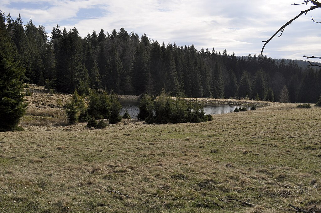
Čeština: Rybník Bor - zbytek bývalé osady Bor
English: Pond Bor - rest of the former settlement Bor |
||
Date | |||
Source | Own work | ||
Author | Jirka Dl | ||
Permission (Reusing this file) |
I, the copyright holder of this work, hereby publish it under the following licenses:
This file is licensed under the Creative Commons Attribution-Share Alike 3.0 Unported, 2.5 Generic, 2.0 Generic and 1.0 Generic license.
You may select the license of your choice. |
Camera location | 49° 41′ 17.08″ N, 13° 51′ 17.58″ E | View this and other nearby images on: OpenStreetMap | 49.688077; 13.854884 |
---|
File history
Click on a date/time to view the file as it appeared at that time.
Date/Time | Thumbnail | Dimensions | User | Comment | |
---|---|---|---|---|---|
current | 14:43, 10 April 2012 | 4,288 × 2,848 (7.8 MB) | Jirka Dl (talk | contribs) |
You cannot overwrite this file.
File usage on Commons
The following page uses this file:
Metadata
This file contains additional information such as Exif metadata which may have been added by the digital camera, scanner, or software program used to create or digitize it. If the file has been modified from its original state, some details such as the timestamp may not fully reflect those of the original file. The timestamp is only as accurate as the clock in the camera, and it may be completely wrong.
Camera manufacturer | NIKON CORPORATION |
---|---|
Camera model | NIKON D90 |
Exposure time | 1/500 sec (0.002) |
F-number | f/11 |
ISO speed rating | 320 |
Date and time of data generation | 14:22, 9 April 2012 |
Lens focal length | 22 mm |
Latitude | 49° 39′ 34.98″ N |
Longitude | 13° 46′ 57.5″ E |
Altitude | 729.817 meters above sea level |
Orientation | Normal |
Horizontal resolution | 240 dpi |
Vertical resolution | 240 dpi |
Software used | Adobe Photoshop CS5 Windows |
File change date and time | 15:14, 10 April 2012 |
Exposure Program | Normal program |
Exif version | 2.21 |
Date and time of digitizing | 14:22, 9 April 2012 |
APEX shutter speed | 8.965784 |
APEX aperture | 6.918863 |
APEX exposure bias | 0 |
Maximum land aperture | 3.9 APEX (f/3.86) |
Metering mode | Pattern |
Light source | Unknown |
Flash | Flash did not fire |
DateTimeDigitized subseconds | 00 |
Color space | Uncalibrated |
Sensing method | One-chip color area sensor |
File source | Digital still camera |
Scene type | A directly photographed image |
Custom image processing | Normal process |
Exposure mode | Auto exposure |
White balance | Auto white balance |
Digital zoom ratio | 1 |
Focal length in 35 mm film | 33 mm |
Scene capture type | Standard |
Scene control | None |
Contrast | Normal |
Saturation | Normal |
Sharpness | Normal |
Subject distance range | Unknown |
GPS time (atomic clock) | 12:22 |
Geodetic survey data used | WGS-84 |
GPS date | 9 April 2012 |
GPS tag version | 0.0.2.2 |
Lens used | 18.0-55.0 mm f/3.5-5.6 |
Serial number of camera | 6414093 |
Date metadata was last modified | 17:14, 10 April 2012 |
Rating (out of 5) | 5 |
Unique ID of original document | C15612842FA9B4A59F48692B2F19F2FB |
IIM version | 43,008 |