File:Ruta B-385, Salar de Atacama.jpg
Jump to navigation
Jump to search

Size of this preview: 800 × 532 pixels. Other resolutions: 320 × 213 pixels | 640 × 426 pixels | 1,024 × 681 pixels | 1,280 × 852 pixels | 2,560 × 1,703 pixels | 4,256 × 2,832 pixels.
Original file (4,256 × 2,832 pixels, file size: 2.07 MB, MIME type: image/jpeg)
Captions
Captions
Add a one-line explanation of what this file represents
Summary
[edit]
| Description |
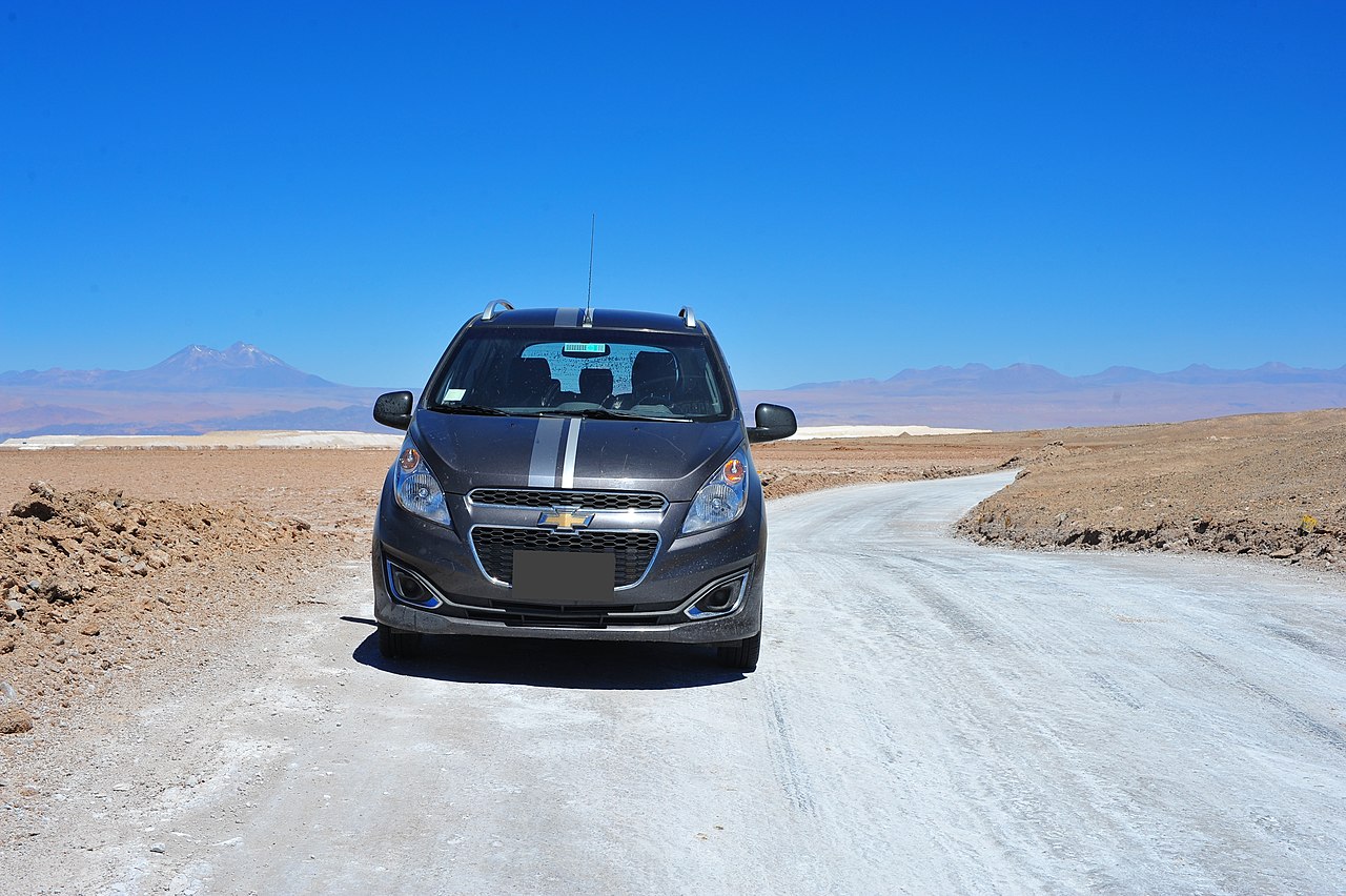
Español: En la pista de sal (2310 m s.n.m.) de la ruta B-385 que da la vuelta por la parte meridional del Salar de Atacama. Detrás del vehiculo se ve la torta blanca de acopio de sales de descarte de la Albemarle Corporation.
Deutsch: Auf der Salzpiste (2310 m ü.M.) der Ruta B-385, die Salar de Atacama im Süden umrundet. Hinter dem Wagen ist die weiße Salzabraumhalde der Albemarle Corporation zu sehen.
English: On the salt track (2310 m a.s.l.) of the B-385 route that goes around the southern part of the Salar de Atacama. Behind the vehicle the white discard salt dump of the Albemarle Corporation is to be seen. |
||
| Date | 30 December 2015, 15:07 (according to Exif data) | ||
| Source | Salt Road | ||
| Author | Chris Hunkeler from Carlsbad, California, USA | ||
| Permission (Reusing this file) |
This file is licensed under the Creative Commons Attribution-Share Alike 2.0 Generic license.
|
| Camera location | | View this and other nearby images on: OpenStreetMap |
|---|
File history
Click on a date/time to view the file as it appeared at that time.
| Date/Time | Thumbnail | Dimensions | User | Comment | |
|---|---|---|---|---|---|
| current | 22:58, 29 February 2020 | | 4,256 × 2,832 (2.07 MB) | WeHaKa (talk | contribs) | {{Information |Description= {{es| En la pista de sal (2310 m s.n.m.) de la ruta B-385 que da la vuelta por la parte meridional del Salar de Atacama. Detrás del vehiculo se ve la torta blanca de acopio de sales de descarte de la Albemarle Corporation.}} {{de|Auf der Salzpiste (2310 m ü.M.) der Ruta B-385, die Salar de Atacama im Súden umrundet. Hinter dem Wagen ist die weisse Salzabraumhalde der Albemarle Corporation zu sehen.}} {{en|On the salt track (2310 m s.n.m.) of the B-385 route that go... |
You cannot overwrite this file.
File usage on Commons
There are no pages that use this file.