File:Russia auton96.jpg
Jump to navigation
Jump to search

Size of this preview: 800 × 571 pixels. Other resolutions: 320 × 228 pixels | 640 × 457 pixels | 1,006 × 718 pixels.
Original file (1,006 × 718 pixels, file size: 82 KB, MIME type: image/jpeg)
Captions
Captions
Add a one-line explanation of what this file represents

|
This historical map image could be re-created using vector graphics as an SVG file. This has several advantages; see Commons:Media for cleanup for more information. If an SVG form of this image is available, please upload it and afterwards replace this template with
{{vector version available|new image name}}.
It is recommended to name the SVG file “Russia auton96.svg”—then the template Vector version available (or Vva) does not need the new image name parameter. |


Summary
[edit]
| Description |
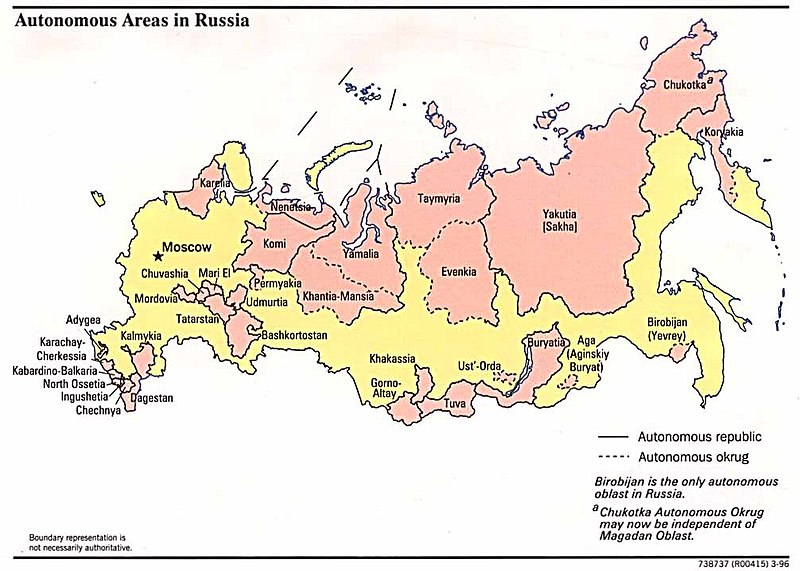
English: Autonomous areas of Russia in 1996. |
| Date | |
| Source | Perry-Castañeda Library Map Collection |
| Author | Scanned by the University of Texas, Austin. |
Licensing
[edit]
This file is in the public domain because all maps under the Perry-Castañeda Library Map Collection are asserted to be in public domain.
|
File history
Click on a date/time to view the file as it appeared at that time.
| Date/Time | Thumbnail | Dimensions | User | Comment | |
|---|---|---|---|---|---|
| current | 06:54, 3 August 2021 | | 1,006 × 718 (82 KB) | Sbb1413 (talk | contribs) | Uploaded a work by Scanned by the University of Texas, Austin. from [https://legacy.lib.utexas.edu/maps/commonwealth/russia_auton96.jpg Perry-Castañeda Library Map Collection] with UploadWizard |
You cannot overwrite this file.
File usage on Commons
There are no pages that use this file.
File usage on other wikis
The following other wikis use this file:
- Usage on cs.wikipedia.org
- Usage on en.wikipedia.org
- Usage on es.wikipedia.org
- Usage on fr.wikipedia.org
- Usage on pt.wikipedia.org
- Usage on sr.wikipedia.org