File:Russia Primorsky Krai relief location map.png
Jump to navigation
Jump to search
Size of this preview: 608 × 600 pixels. Other resolutions: 243 × 240 pixels | 487 × 480 pixels | 778 × 768 pixels | 1,038 × 1,024 pixels | 1,790 × 1,766 pixels.
Original file (1,790 × 1,766 pixels, file size: 1.17 MB, MIME type: image/png)
Captions
Captions
Add a one-line explanation of what this file represents
Summary
[edit]
| Description |
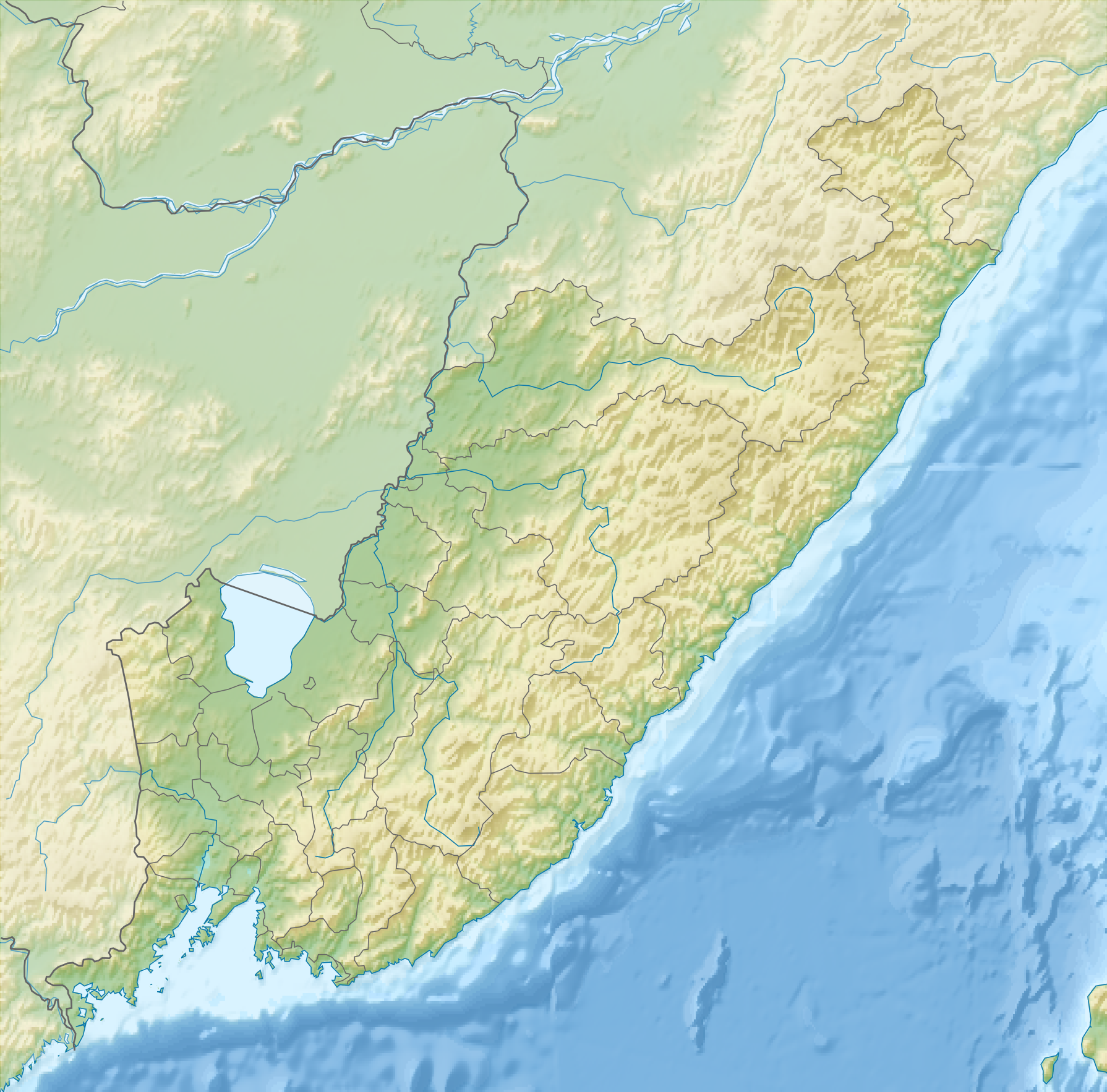
English: Primorsky Krai relief location map
Equirectangular projection, N/S stretching 141 %. True scale parallel: 45°00' N. Geographic limits of the map:
|
| Date | |
| Source | Own work, using ETOPO data, Inkscape and GMT Tools |
| Author | Das steinerne Herz |
Licensing
[edit]
I, the copyright holder of this work, hereby publish it under the following licenses:
This file is licensed under the Creative Commons Attribution-Share Alike 3.0 Unported license.
- You are free:
- to share – to copy, distribute and transmit the work
- to remix – to adapt the work
- Under the following conditions:
- attribution – You must give appropriate credit, provide a link to the license, and indicate if changes were made. You may do so in any reasonable manner, but not in any way that suggests the licensor endorses you or your use.
- share alike – If you remix, transform, or build upon the material, you must distribute your contributions under the same or compatible license as the original.

|
Permission is granted to copy, distribute and/or modify this document under the terms of the GNU Free Documentation License, Version 1.2 or any later version published by the Free Software Foundation; with no Invariant Sections, no Front-Cover Texts, and no Back-Cover Texts. A copy of the license is included in the section entitled GNU Free Documentation License. |
You may select the license of your choice.
File history
Click on a date/time to view the file as it appeared at that time.
| Date/Time | Thumbnail | Dimensions | User | Comment | |
|---|---|---|---|---|---|
| current | 15:13, 30 January 2015 | | 1,790 × 1,766 (1.17 MB) | RokerHRO (talk | contribs) | optipng -o7 -i0 → 10.32% decrease |
| 07:56, 29 July 2011 |  | 1,790 × 1,766 (1.31 MB) | Das steinerne Herz (talk | contribs) | {{Information |Description ={{en|1=Primorsky Krai relief location map Equirectangular projection, N/S stretching 141 %. True scale parallel: 45°00' N. Geographic limits of the map: * N: 49.0° N * S: 42.0° N * W: 130.0° E * E: 140.0° E}} |Source |
You cannot overwrite this file.
File usage on Commons
There are no pages that use this file.
File usage on other wikis
The following other wikis use this file:
- Usage on az.wikipedia.org
- Usage on be.wikipedia.org
- Usage on bg.wikipedia.org
- Владивосток
- Усурийск
- Фокино (Приморски край)
- Ханка
- Сихоте Алин
- Усури
- Сунгача
- Посет (залив)
- Раздолная
- Петър Велики (залив)
- Амурски залив
- Усурийски залив
- Шаблон:ПК Русия Приморски край
- Находка
- Златен мост
- Болшой Камен
- Артьом
- Далнегорск
- Арсениев (град)
- Спаск-Дални
- Партизанск
- Лесозаводск
- Далнереченск
- Лучегорск
- Бикин (река)
- Приханкайска низина
- Руски (остров, Японско море)
- Usage on ce.wikipedia.org
- Usage on cs.wikipedia.org
View more global usage of this file.