File:Russia - blank map (2009-01).svg
Jump to navigation
Jump to search

Size of this PNG preview of this SVG file: 800 × 485 pixels. Other resolutions: 320 × 194 pixels | 640 × 388 pixels | 1,024 × 621 pixels | 1,280 × 776 pixels | 2,560 × 1,552 pixels | 1,650 × 1,000 pixels.
Original file (SVG file, nominally 1,650 × 1,000 pixels, file size: 137 KB)
Captions
Captions
Add a one-line explanation of what this file represents
| Description |
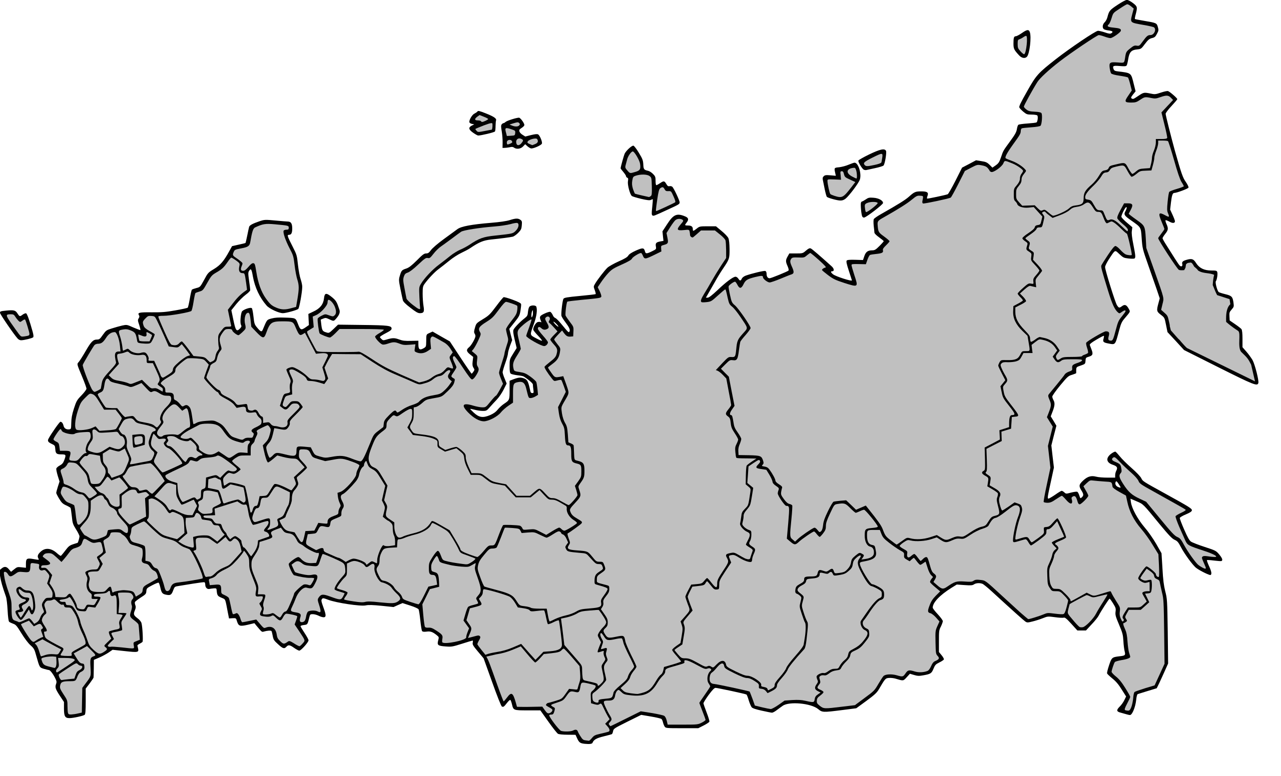
English: Blank map of the federal subjects of Russia as of January 1, 2009 Русский: Контурная карта федеральных субъектов Российской Федерации по состоянию на 1 января 2009 г. |
| Date | (UTC) |
| Source | |
| Author |
|
| Other versions | Derivative works of this file: Map of Russia degree of afforestation.svg |
.svg)
| This is a retouched picture, which means that it has been digitally altered from its original version. Modifications: Took into account the mergers that happened in 2008, replaced path id's by the region's ISO3166-2:RU respective codes, grouped autonomnous okrug and their administrative jurisdictions together. The original can be viewed here: Russia - blank map (2008-01).svg:
|
I, the copyright holder of this work, hereby publish it under the following licenses:
This file is licensed under the Creative Commons Attribution 2.5 Generic license.
- You are free:
- to share – to copy, distribute and transmit the work
- to remix – to adapt the work
- Under the following conditions:
- attribution – You must give appropriate credit, provide a link to the license, and indicate if changes were made. You may do so in any reasonable manner, but not in any way that suggests the licensor endorses you or your use.
| This file is licensed under the Creative Commons Attribution-Share Alike 3.0 Unported license. | ||
| ||
| This licensing tag was added to this file as part of the GFDL licensing update. |

|
Permission is granted to copy, distribute and/or modify this document under the terms of the GNU Free Documentation License, Version 1.2 or any later version published by the Free Software Foundation; with no Invariant Sections, no Front-Cover Texts, and no Back-Cover Texts. A copy of the license is included in the section entitled GNU Free Documentation License. |
You may select the license of your choice.
Original upload log
[edit].svg&action=edit§ion=1)
This image is a derivative work of the following images:
- File:Russia_-_blank_map_(2008-01).svg licensed with Cc-by-2.5, Cc-by-sa-3.0-migrated, GFDL
- 2007-12-20T16:21:58Z Ezhiki 1650x1000 (142945 Bytes) {{Information |Description={{en|Blank map of the federal subjects of Russia as of January 1, 2008}}{{ru|Контурная карта федеральных субъектов Российской Федерации по со
Uploaded with derivativeFX
File history
Click on a date/time to view the file as it appeared at that time.
| Date/Time | Thumbnail | Dimensions | User | Comment | |
|---|---|---|---|---|---|
| current | 23:39, 24 November 2009 | | 1,650 × 1,000 (137 KB) | Antonfromperm (talk | contribs) | {{Information |Description={{en|Blank map of the federal subjects of Russia as of January 1, 2009}}{{ru|Контурная карта федеральных субъектов Российской Федерации по состоянию на 1 янва |
You cannot overwrite this file.
File usage on Commons
The following page uses this file:
.svg&oldid=593356145)