File:Rushden Council Buildings (geograph 2001516).jpg
Jump to navigation
Jump to search
Size of this preview: 800 × 533 pixels. Other resolutions: 320 × 213 pixels | 640 × 426 pixels | 1,024 × 682 pixels | 1,280 × 852 pixels | 1,600 × 1,065 pixels.
Original file (1,600 × 1,065 pixels, file size: 274 KB, MIME type: image/jpeg)
Captions
Captions
Add a one-line explanation of what this file represents
Summary
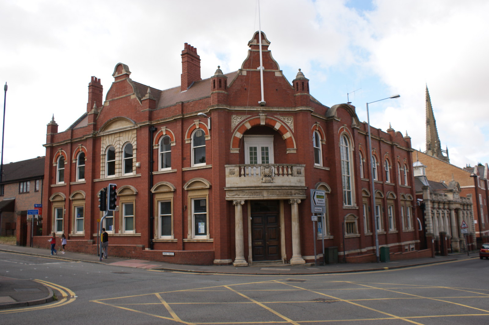
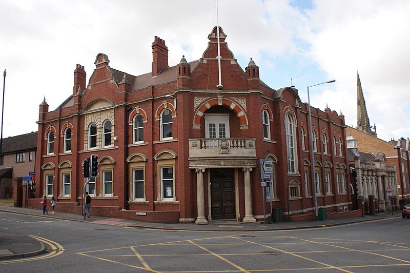
[edit]| Description | Rushden Council Buildings | ||
| Date | |||
| Source | From geograph.org.uk | ||
| Author | Chris Cursley | ||
| Permission (Reusing this file) |
This file is licensed under the Creative Commons Attribution-Share Alike 2.0 Generic license. Attribution: Chris Cursley
|
||
| Attribution (required by the license) | Chris Cursley / Rushden Council Buildings / | ||

.jpg&action=edit§ion=1)
| Camera location | | View this and other nearby images on: OpenStreetMap |
|---|
.jpg¶ms=052.289535_N_-000.595262_E_globe:Earth_type:camera_source:geograph-osgb36(SP95916664)_heading:225.00&language=en)
| Object location | | View this and other nearby images on: OpenStreetMap |
|---|
.jpg¶ms=052.289360_N_-000.595710_E_globe:Earth_class:object_type:object_source:geograph-osgb36(SP95886662)_heading:225.00&language=en)
File history
Click on a date/time to view the file as it appeared at that time.
| Date/Time | Thumbnail | Dimensions | User | Comment | |
|---|---|---|---|---|---|
| current | 04:29, 23 July 2021 | | 1,600 × 1,065 (274 KB) | Geograph Update Bot (talk | contribs) | Higher-resolution version from Geograph |
| 17:58, 22 April 2021 |  | 640 × 426 (64 KB) | Dormskirk (talk | contribs) | {{Information |Description=Rushden Council Buildings |Source=From [https://www.geograph.org.uk/photo/2001516 geograph.org.uk] |Date=2010-08-07 |Author=[https://www.geograph.org.uk/profile/46868 Chris Cursley] |Permission={{geograph|2001516|Chris Cursley}} |other_versions= }} {{Location|52.289535|-0.595262|source:geograph-osgb36(SP95916664)_heading:225|prec=10}} {{Object location|52.28936|-0.59571|source:geograph-osgb36(SP95886662)_heading:225|prec=10}} |
You cannot overwrite this file.
File usage on Commons
The following page uses this file:
File usage on other wikis
The following other wikis use this file:
- Usage on en.wikipedia.org
- Usage on www.wikidata.org
.jpg&oldid=590548266)