File:Royal Arthur School Montreal Map Location 1890.jpg
Jump to navigation
Jump to search
Size of this preview: 716 × 600 pixels. Other resolutions: 287 × 240 pixels | 573 × 480 pixels | 917 × 768 pixels | 1,222 × 1,024 pixels | 1,313 × 1,100 pixels.
Original file (1,313 × 1,100 pixels, file size: 376 KB, MIME type: image/jpeg)
Captions
Captions
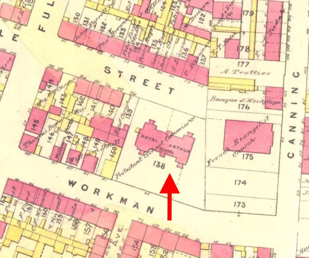
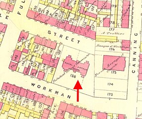
Small area of 1890 Montreal map showing Royal Arthur School
Summary
[edit]
| Description |
English: Atlas of the City of Montreal from special survey and official plans, showing all buildings & names of owners in the St. Antoine Ward of Montreal in 1880 |
| Date | May 1880 |
| Source | https://numerique.banq.qc.ca/p/carte-index-charles-goad.html |
| Author | Carte-index des atlas de Montréal de Charles Goad (1890) |
Licensing
[edit]
This work is in the public domain in the United States because it was published (or registered with the U.S. Copyright Office) before January 1, 1929.
Public domain works must be out of copyright in both the United States and in the source country of the work in order to be hosted on the Commons. If the work is not a U.S. work, the file must have an additional copyright tag indicating the copyright status in the source country.
Note: This tag should not be used for sound recordings. |
File history
Click on a date/time to view the file as it appeared at that time.
| Date/Time | Thumbnail | Dimensions | User | Comment | |
|---|---|---|---|---|---|
| current | 22:24, 31 May 2023 | | 1,313 × 1,100 (376 KB) | David C Bailey (talk | contribs) | Reverted to version as of 22:21, 31 May 2023 (UTC) |
| 22:23, 31 May 2023 |  | 1,820 × 1,130 (511 KB) | David C Bailey (talk | contribs) | Reverted to version as of 16:53, 22 May 2023 (UTC) | |
| 22:21, 31 May 2023 |  | 1,313 × 1,100 (376 KB) | David C Bailey (talk | contribs) | Cropped and arrow added | |
| 16:53, 22 May 2023 |  | 1,820 × 1,130 (511 KB) | David C Bailey (talk | contribs) | Uploaded a work by Carte-index des atlas de Montréal de Charles Goad (1890) from https://numerique.banq.qc.ca/p/carte-index-charles-goad.html with UploadWizard |
You cannot overwrite this file.
File usage on Commons
There are no pages that use this file.
File usage on other wikis
The following other wikis use this file:
- Usage on en.wikipedia.org